A Green Year on the Eastside
Nine days of camping and hiking through the Eastern Sierra Nevada during the summer following an above average snowfall winter.

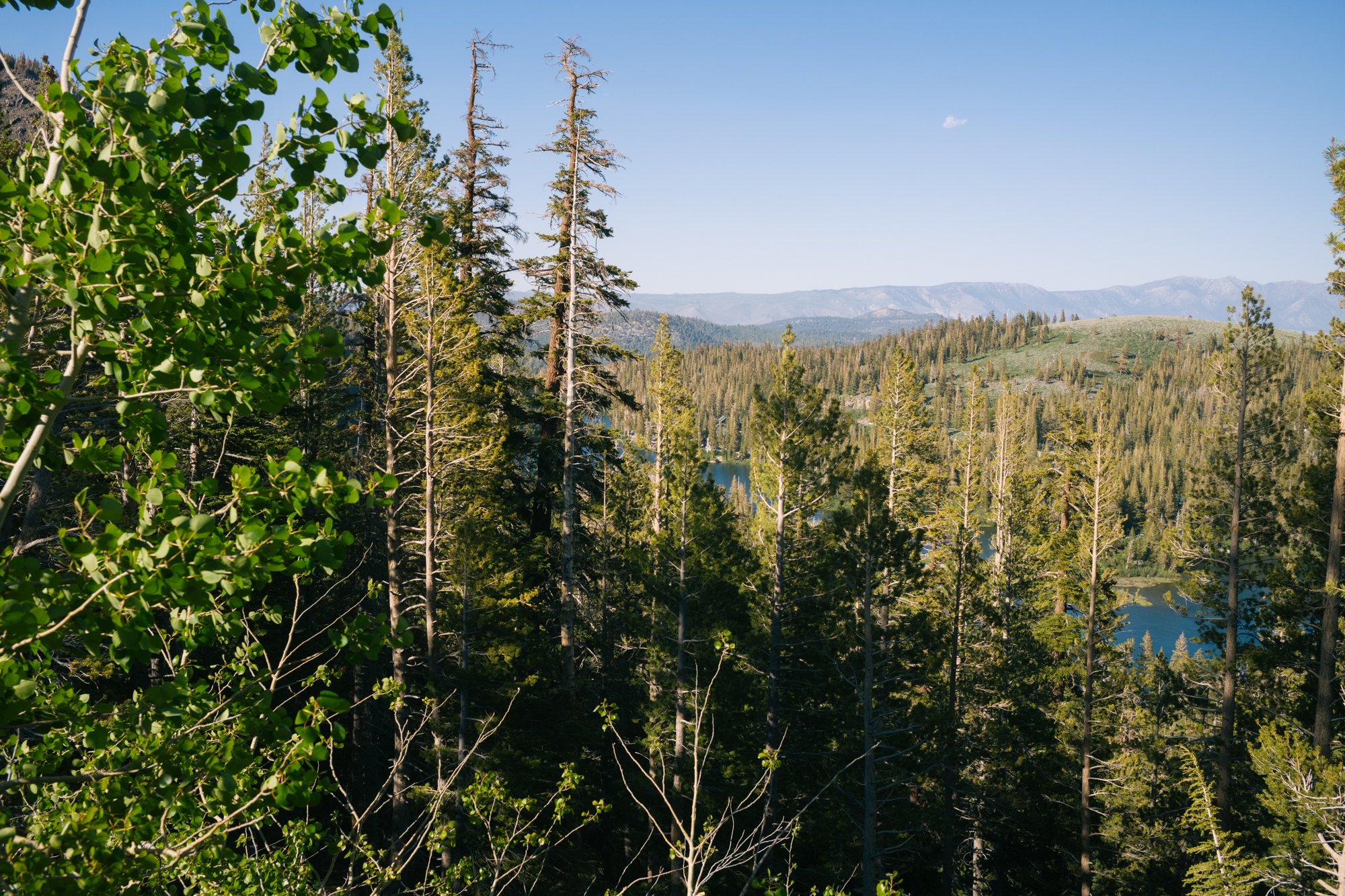
What an immensely diverse region Eastern California is. U.S. Highway 395 separates some of the country’s most incredible ecosystems. 14,000+’ peaks on either side of the valley that feeds (stolen) water to Los Angeles. High elevation alpine lakes are dotted all throughout the Sierra Nevada mountain range on the west side of the valley, while only one hundred miles away is Badwater Basin, where the hottest temperature on Earth was recorded.
Since 1913, water from the Owens River has been funneled into Los Angeles through William Mulholland’s aqueduct, leaving this once green valley dry and dusty as Owens Lake sits with very little water most of the time, according to Marith C. Reheis of the U.S. Geological Survey. The lake is now the largest source of dust pollution in the entire country as winds can blow the lake bed’s harmful carcinogenic minerals many miles.
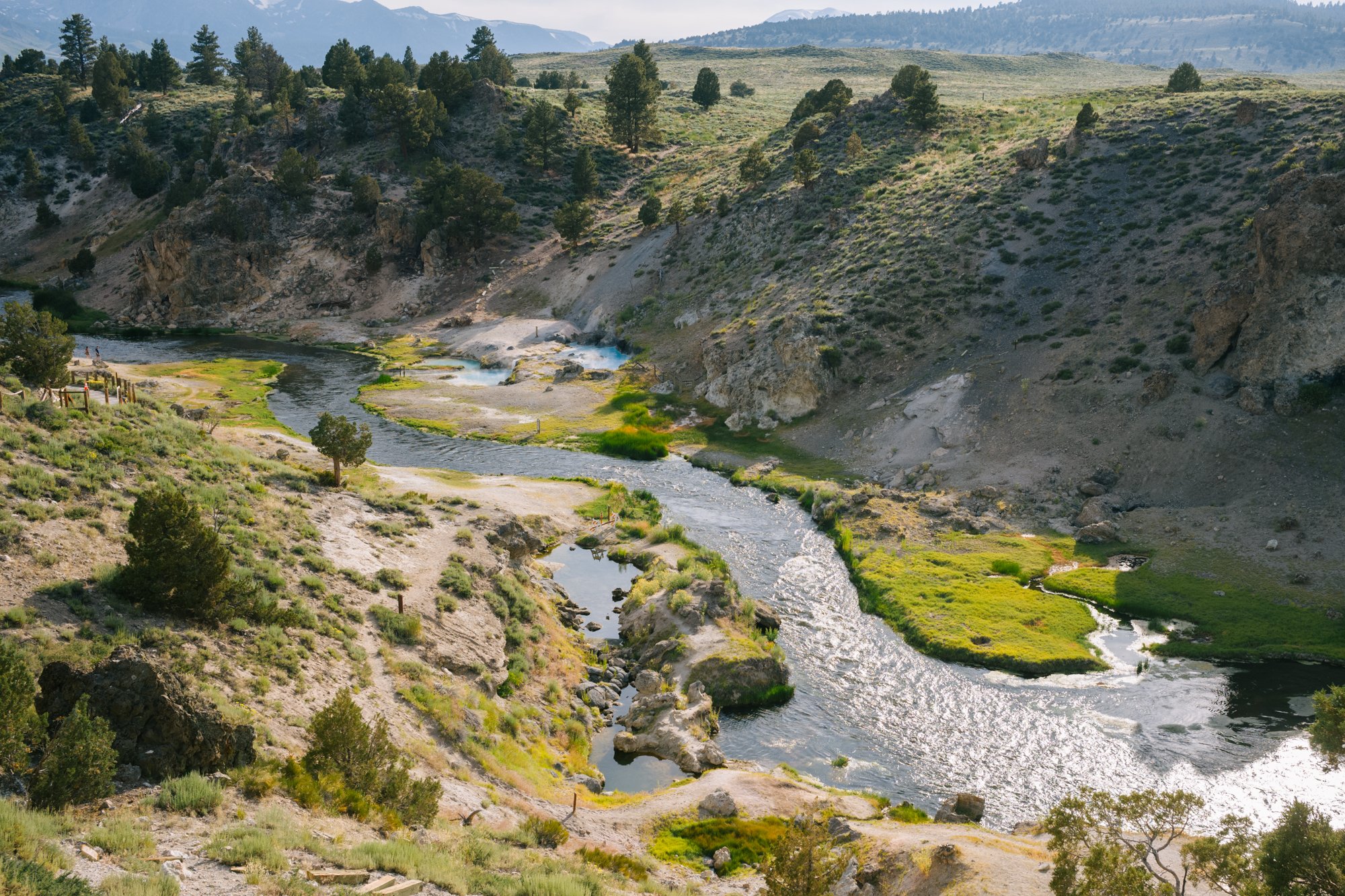
Hot Creek flows through Long Valley at sunset on July 16, 2023.
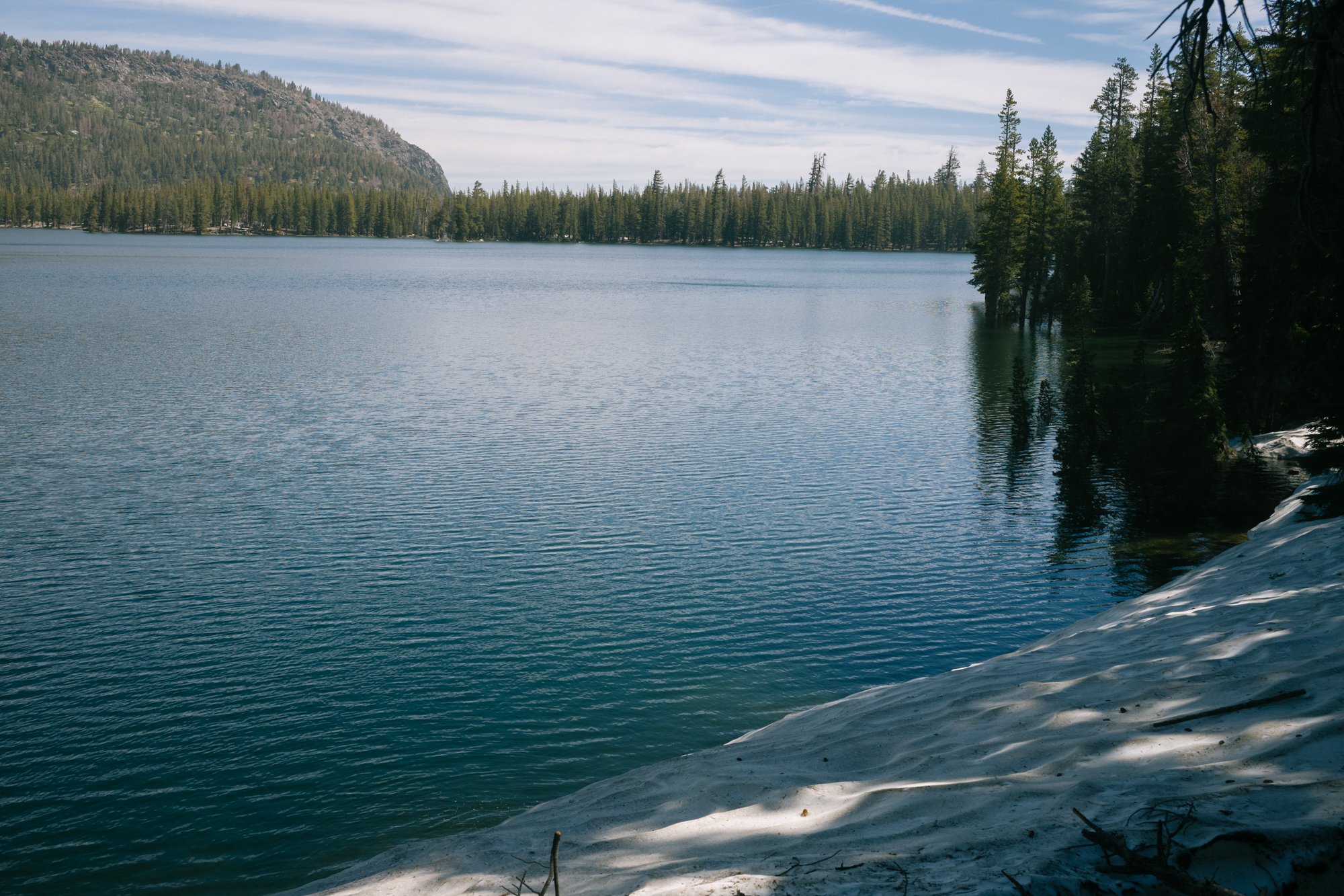
Last winter, this region experienced some of the most snow and rainfall in recent history. And because of that, we are now seeing higher than normal water levels as the snow melts and runs down into the valleys’ lakes. This has put water levels at Owens Creek Dam to 4 acre-ft as of July 2023. This is 400% of its normal level for this time of the year, which is typically 1 acre-ft.
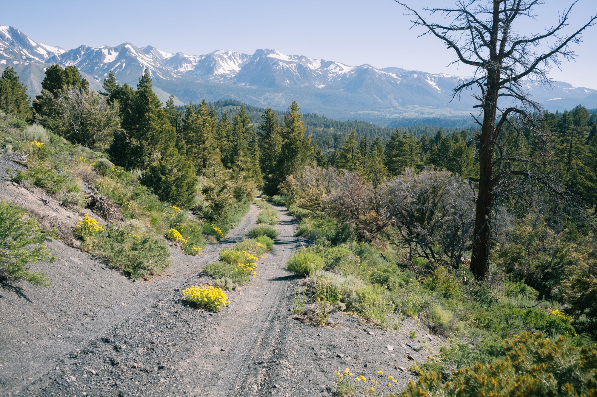
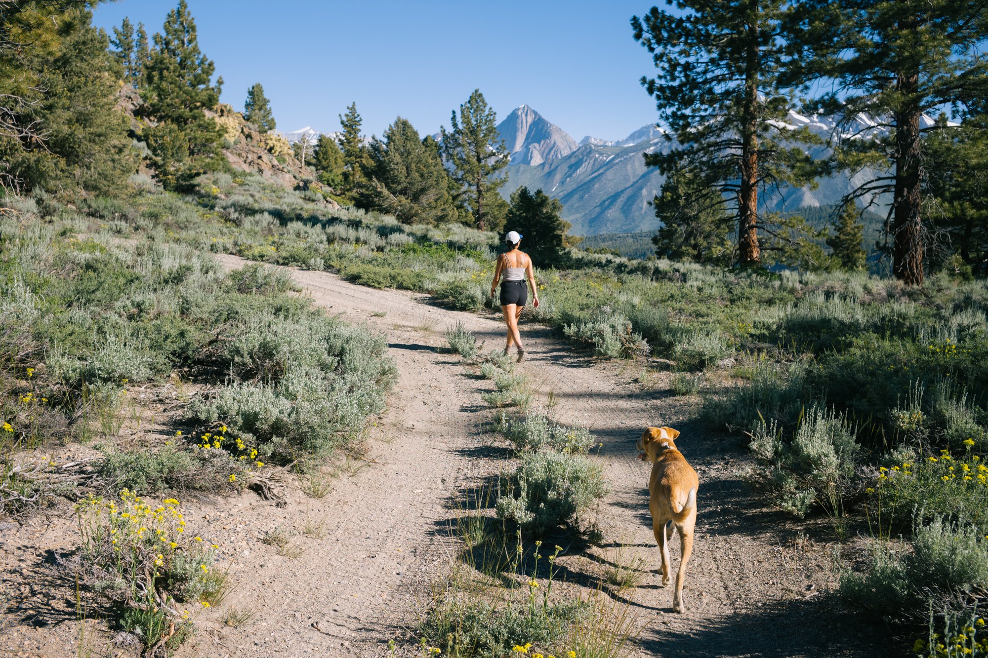
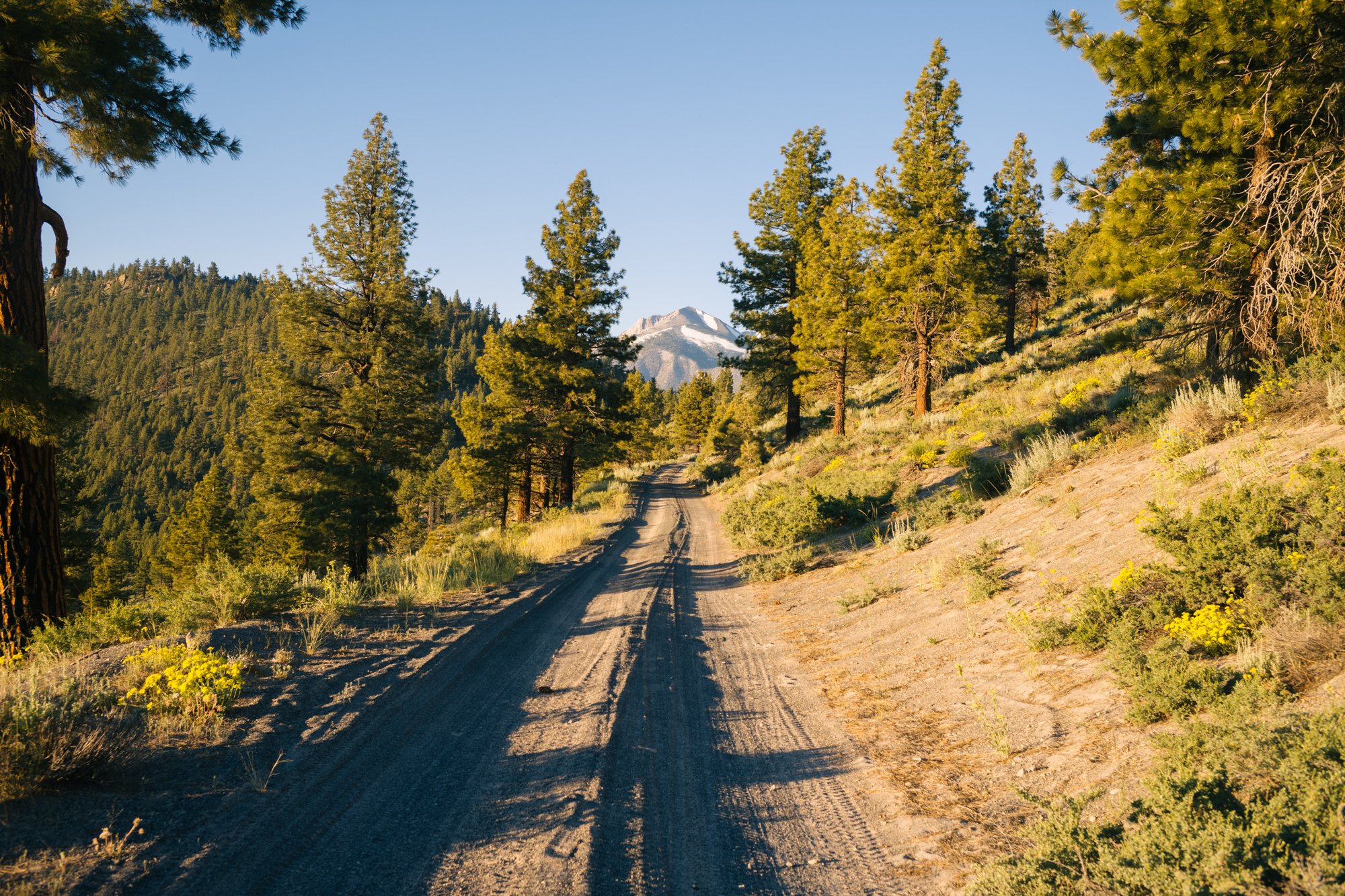
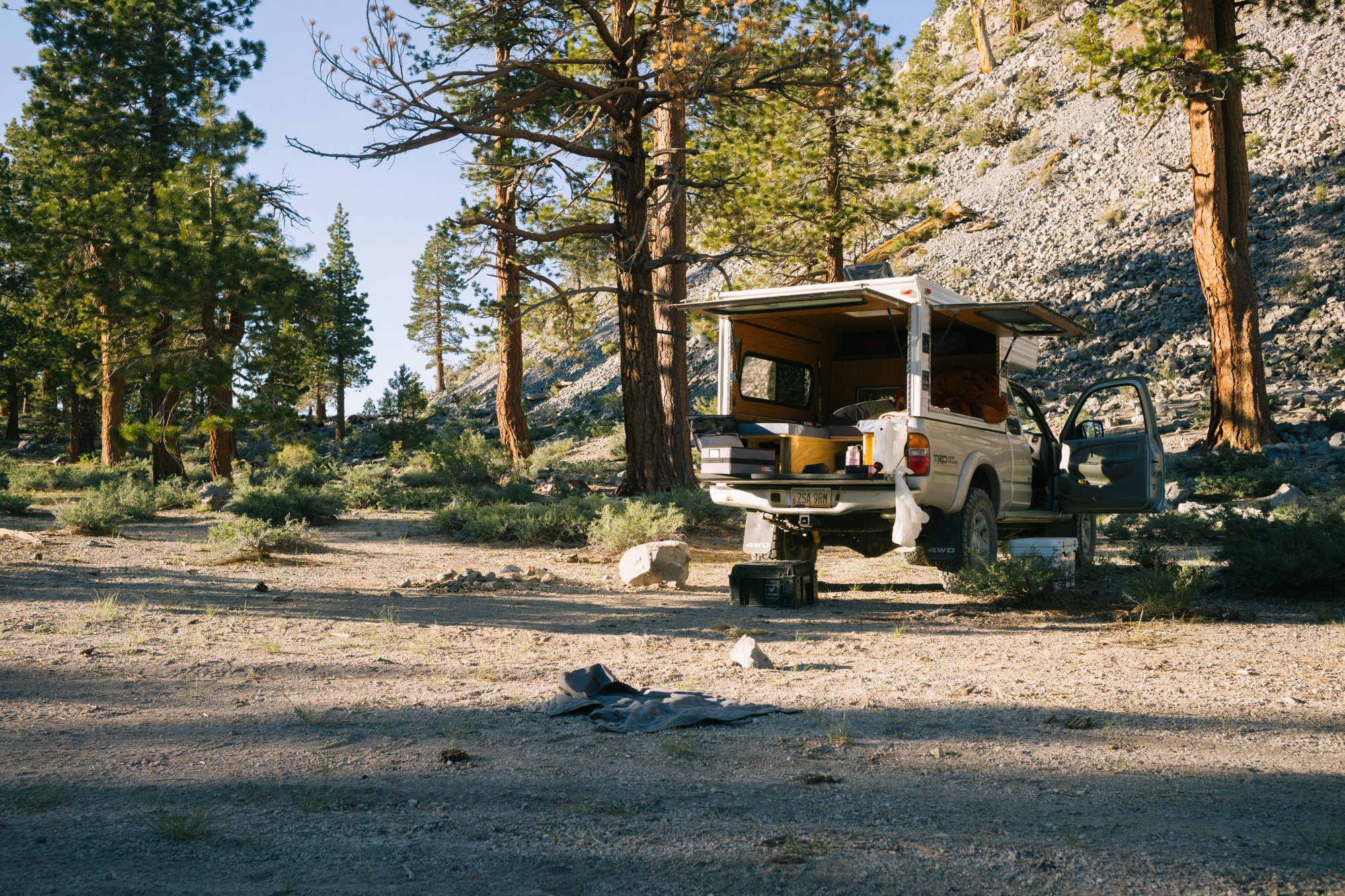
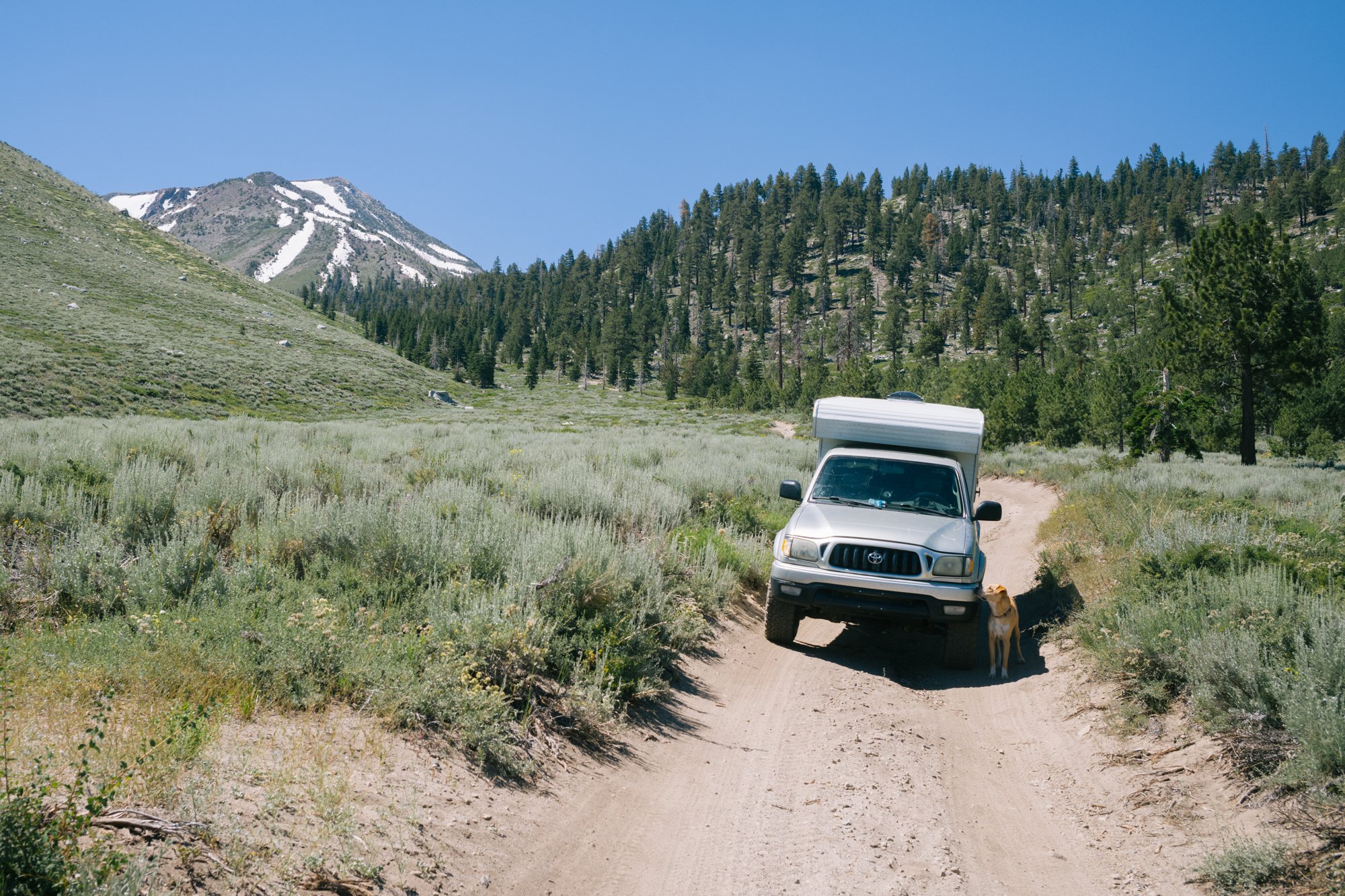
Because of this, now is as nice of a time as any to head north along the 395 in search of cold water, green valleys, and even snow during these hot weeks we have been experiencing in Southern California – so that is exactly what we set out to do for nine days of camping in and around the Eastern Sierra Nevada.
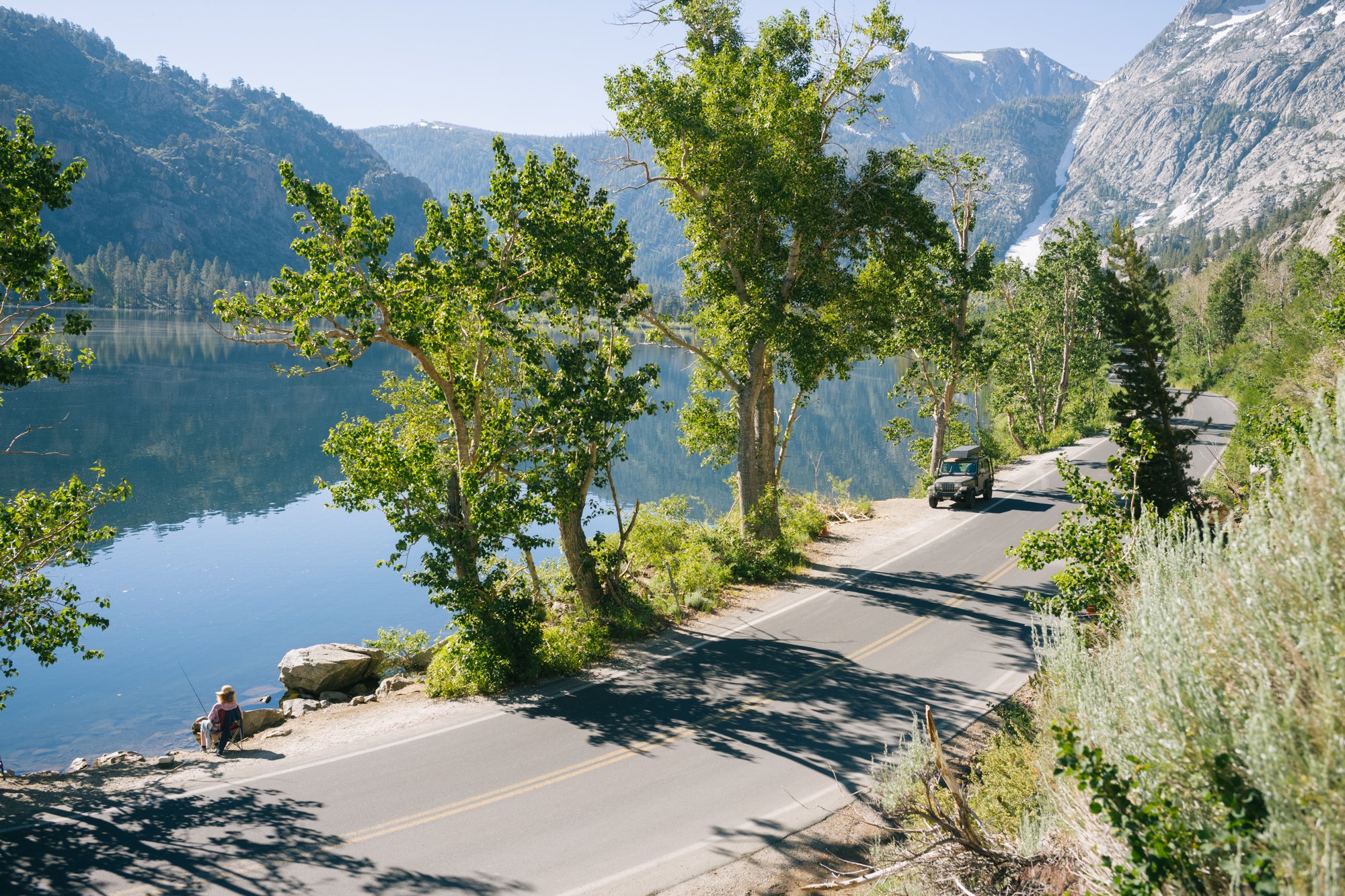
A fisher sits waiting alongside Silver Lake for a bite as the sun comes up over the 9455’ Reversed Peak on July 14, 2023.
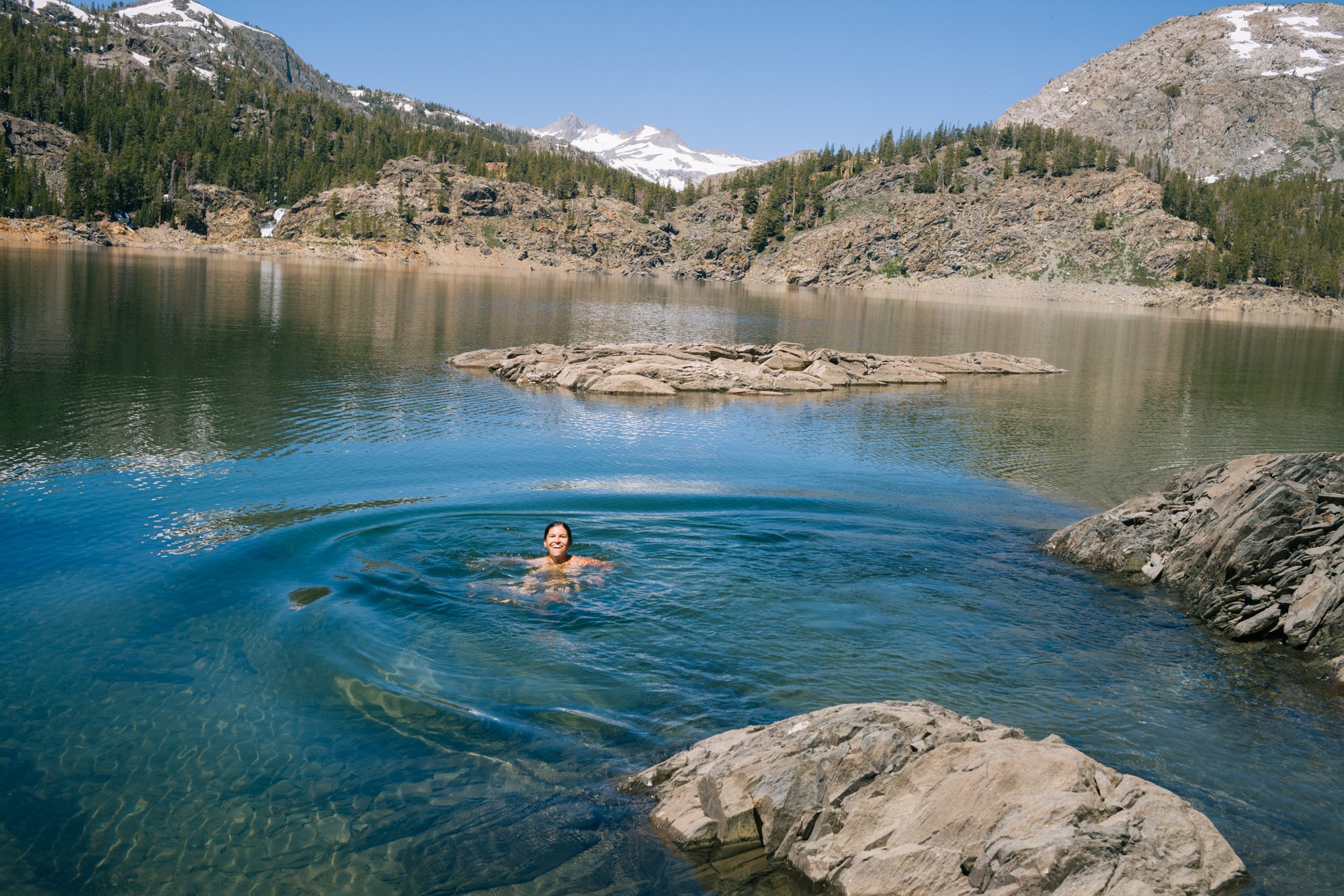
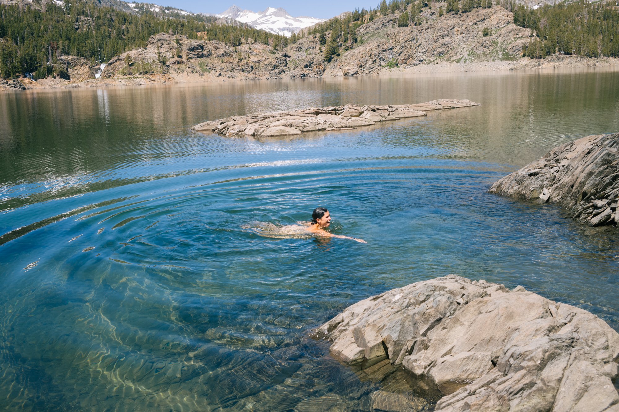
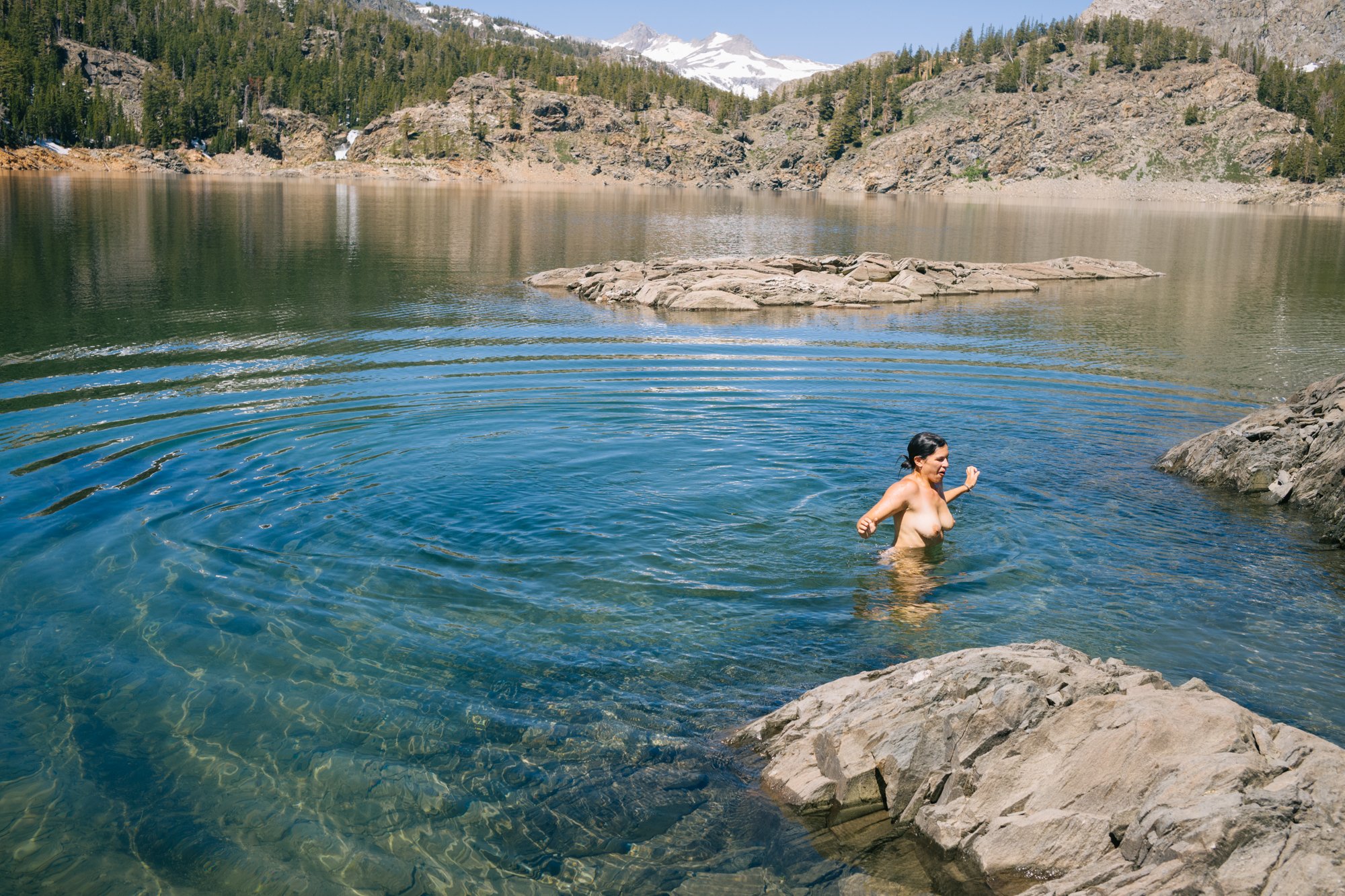
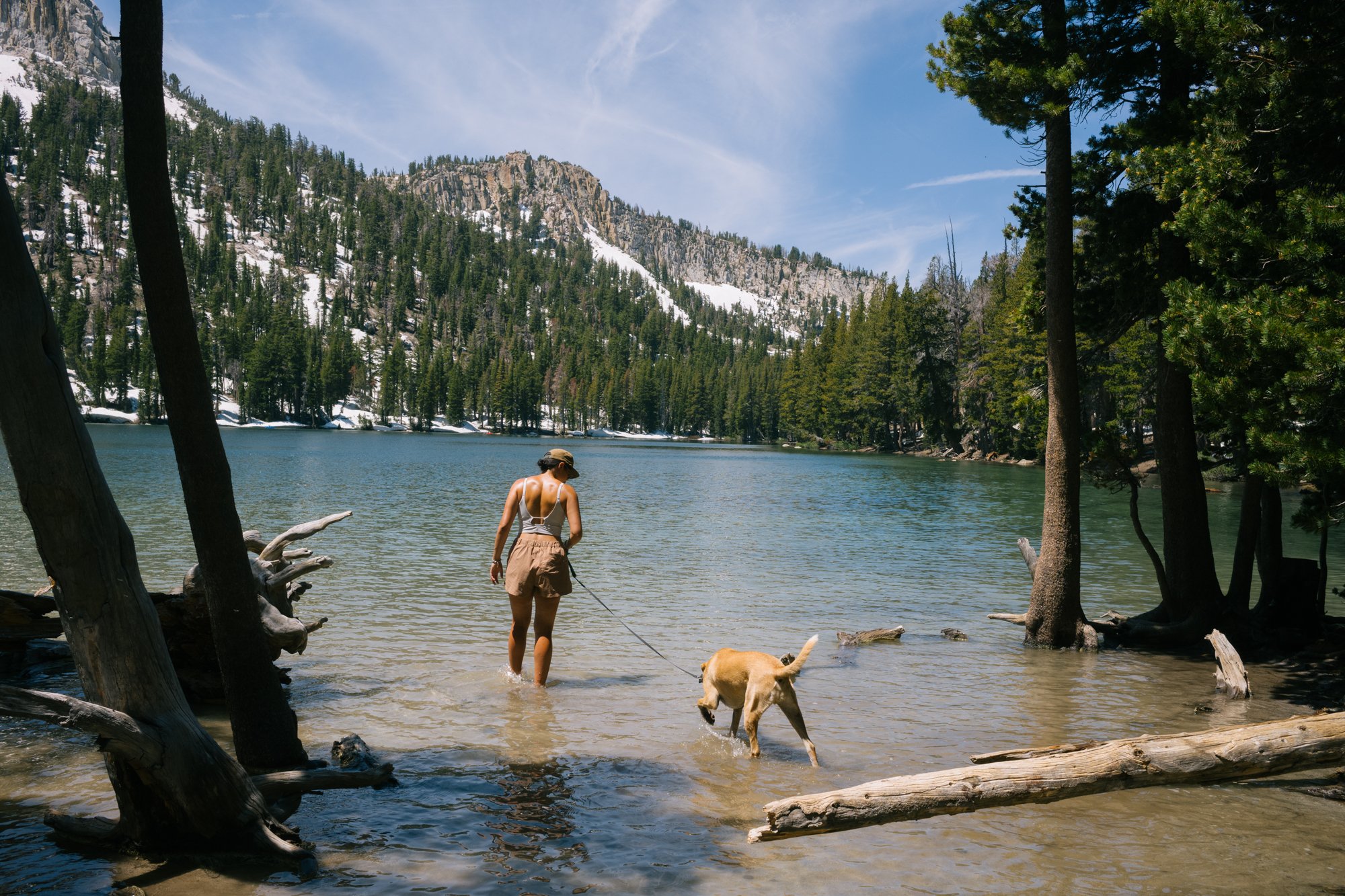
Sami Damsky floats in Gem Lake after jumping into the icy, snowmelt water on July 14, 2023.
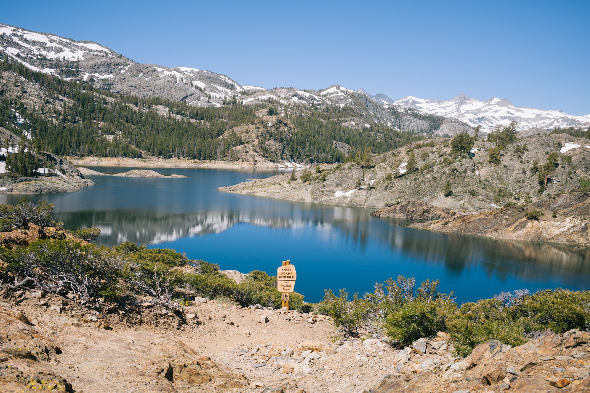
A sign designates the boundary of the Ansel Adams Wilderness on the west side of Gem Lake on July 14, 2023.
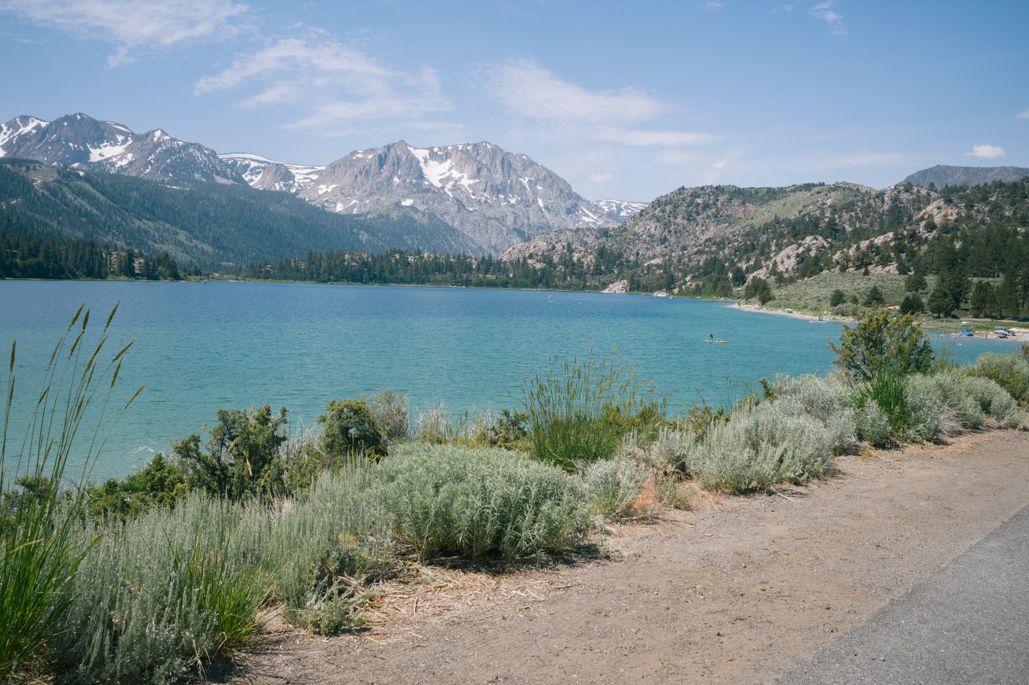
Rush Creek
Again, because of this year’s extreme water levels in the Sierra, the summer heat has begun melting the snow and filling nearby reservoirs, like Grant Lake Reservoir. On June 7 of this year, water began spilling over the reservoir for only the fifth time since 2006.
To get a better look at just how much water was still up in the high country, we set out to hike into the Ansel Adams Wilderness via the Rush Creek Trail that ascends up passed Horsetail Falls just west of Silver Lake. This trail is steep and exposed on the way up, but once you reach the shelf below Carson Peak you are immersed into the High Sierra that we all know and love. The alpine lakes, flowing streams, and dramatic granite rock formations fill your views from up here.
Rush Creek flows down the mountainside where it will eventually reach Grant Lake after falling from Horsetail Falls on July 14, 2023.
Horsetail Falls has been dumping an enormous amount of water this year as Rush Creek’s water flows from its source in Yosemite on Mount Lyell through the three dams designed to enlarge the natural lakes of Waugh Lake, Gem Lake and Agnew Lake. After the creek exits Agnew Lake, it flows down the eye-catching Horsetail Falls that can be seen from the base of these mountains along the June Lake Loop.
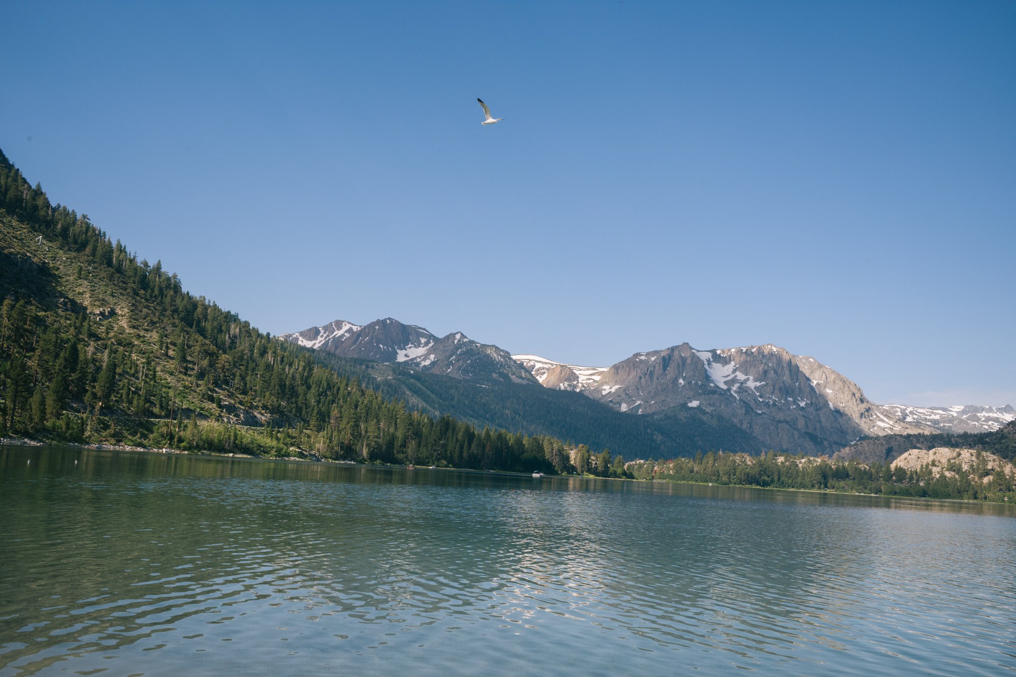
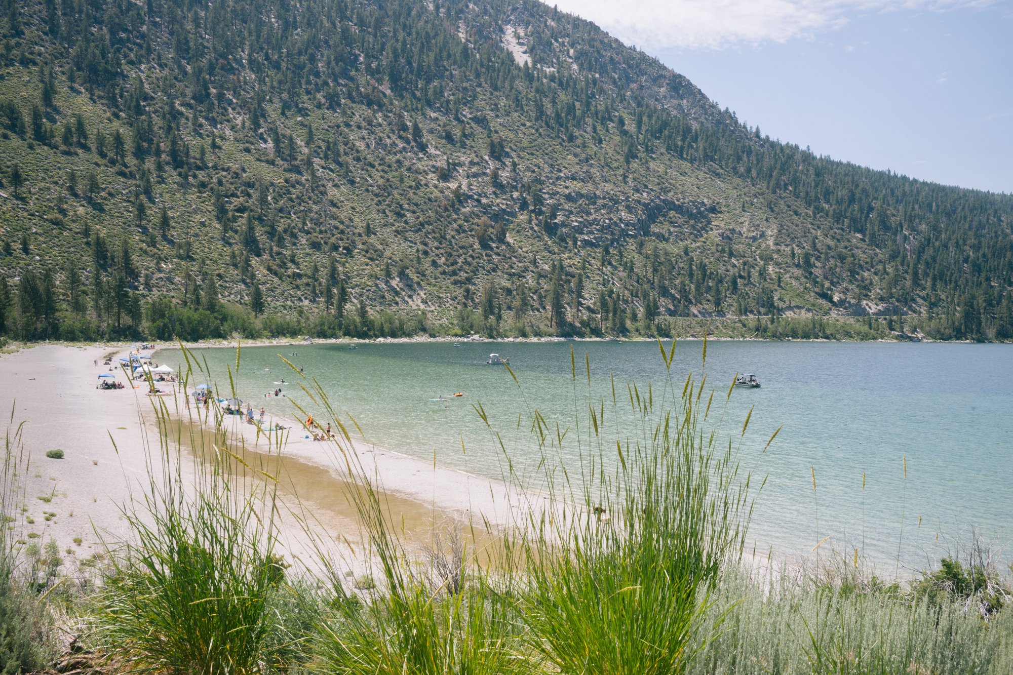
A California Gull flys over June Lake on July 17, 2023.
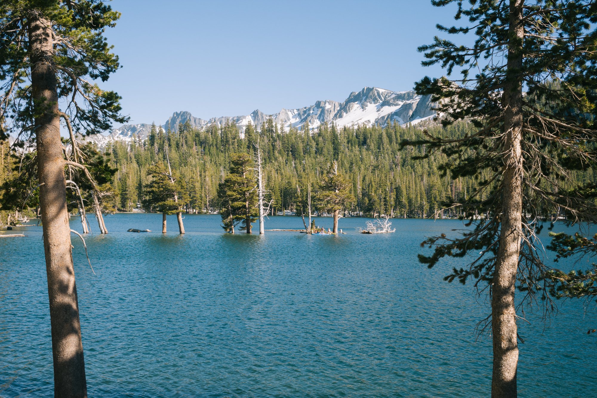
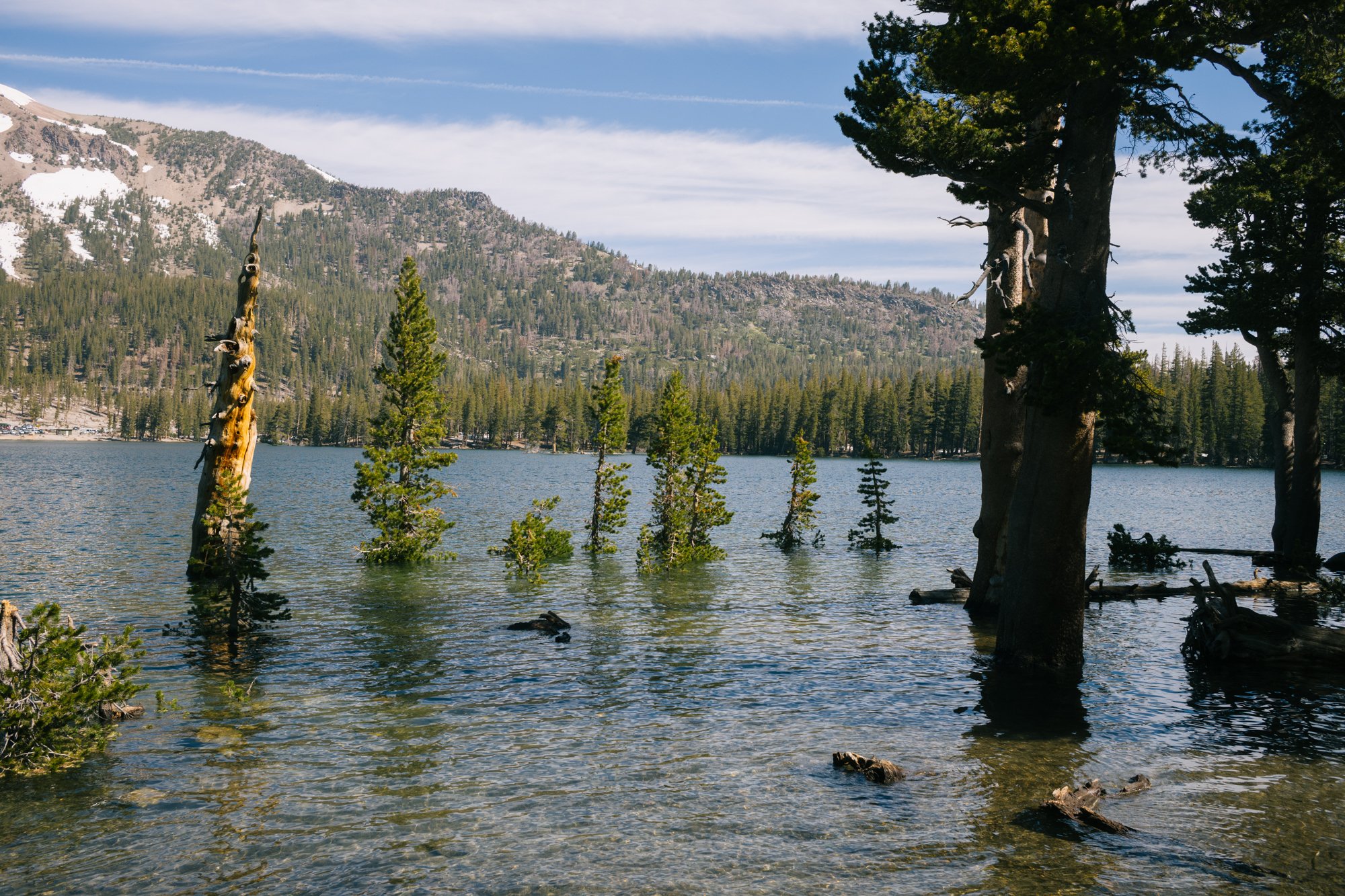
The water at Horseshoe Lake has flooded over the base of many trees on July 15, 2023.
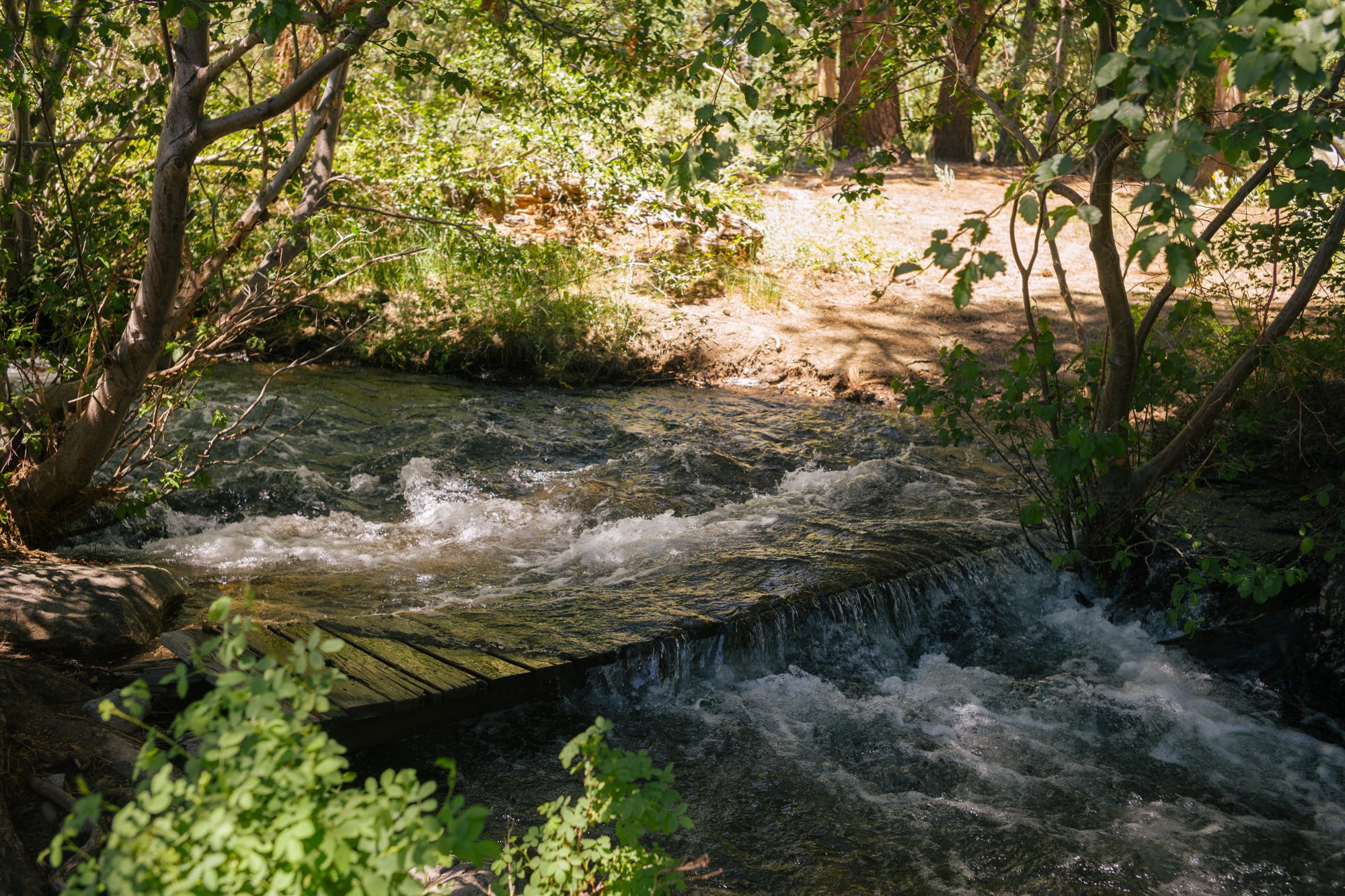
Many creeks, like Sherwin Creek, are flowing higher than normal. A foot bridge along the creek is pictured with water flowing over it on July 15, 2023.
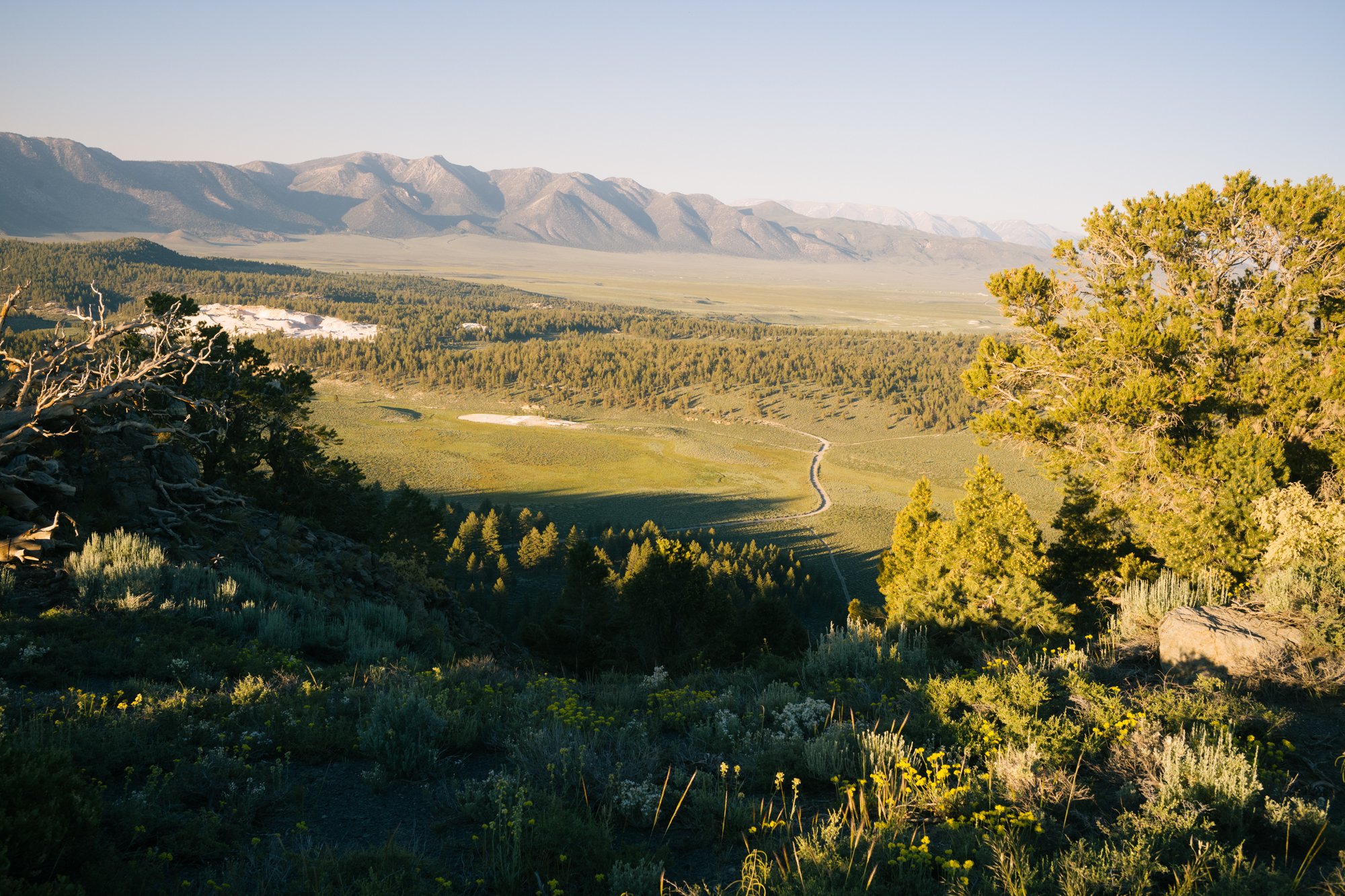
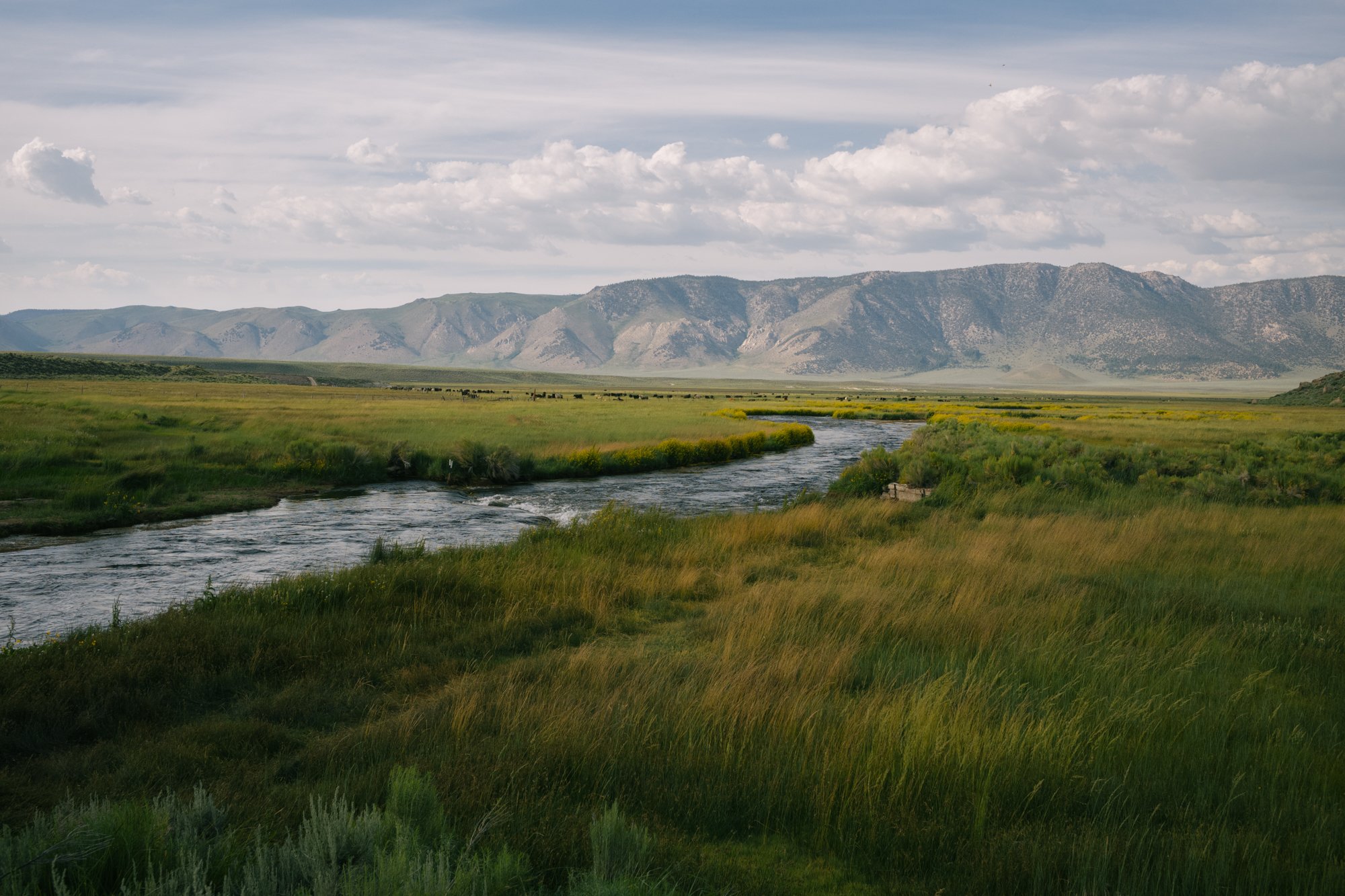
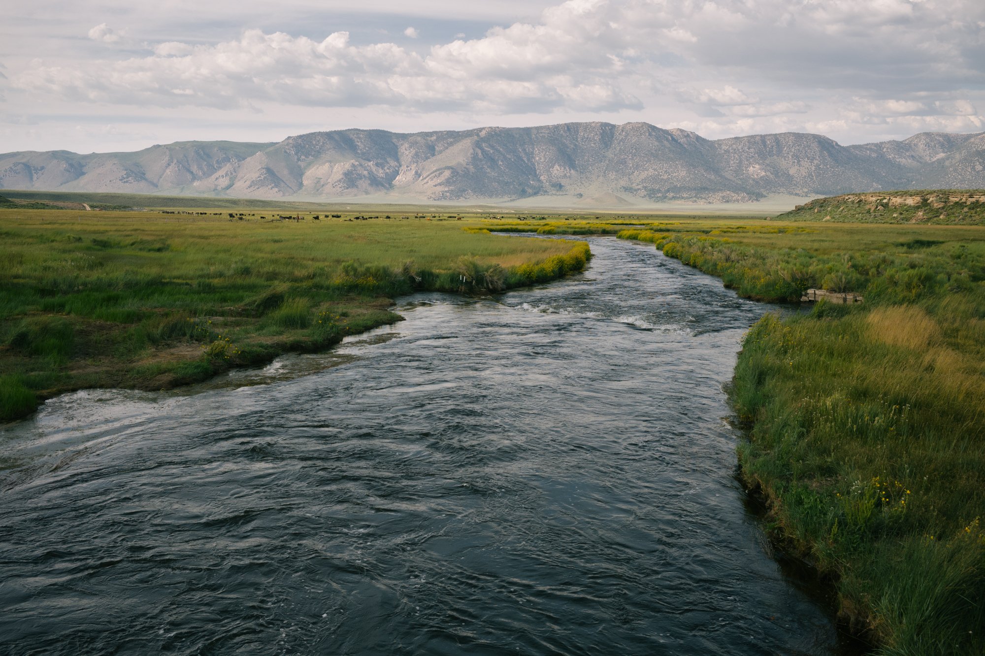
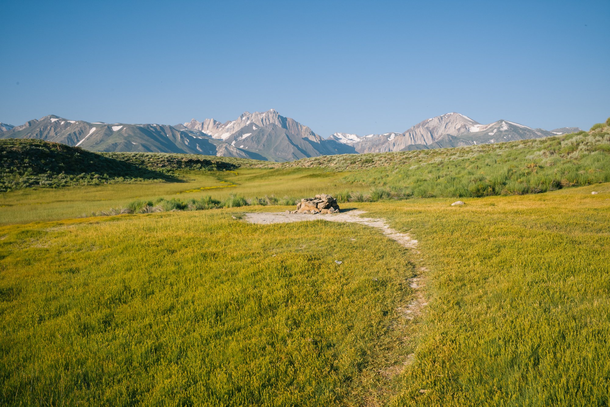
Long Valley
Ever since 1941, when the Los Angeles Department of Water and Power constructed the Long Valley dam to create Crowley Lake, wetlands and meadows in the valley east of Mammoth, CA were hurt greatly. Now, similar to what has happened in the Owens Valley located just south, Long Valley is fighting to maintain their water that is owned by the city of LA after they put steps forward to de-water the area in 2018.
If Los Angeles were to quit providing water to this region, the beautiful greenery that follows along Hot Creek will no longer remain. This also means that the incredible biodiversity found here will likely disappear as they rely heavily on the water that passes through the valley.
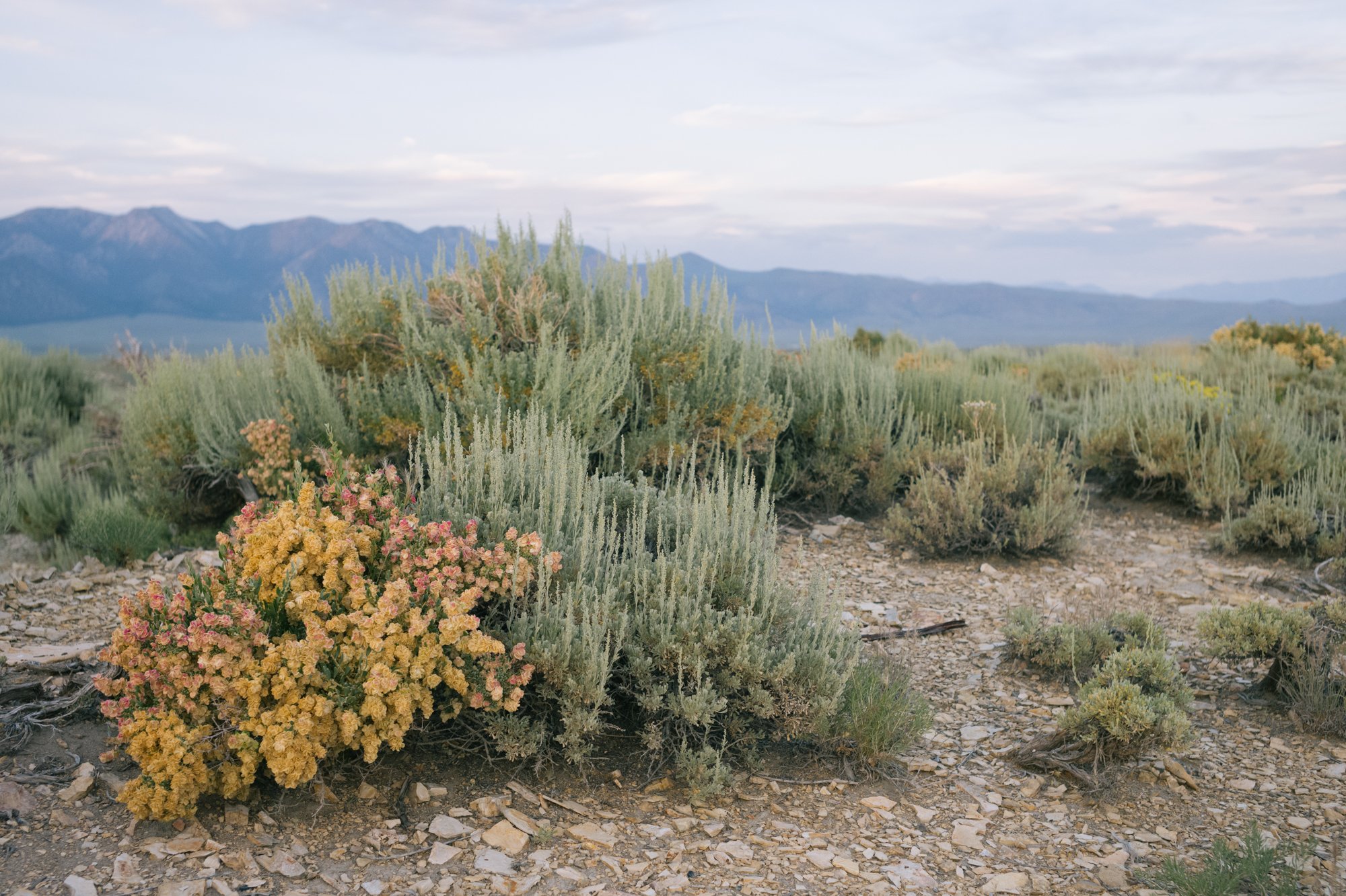
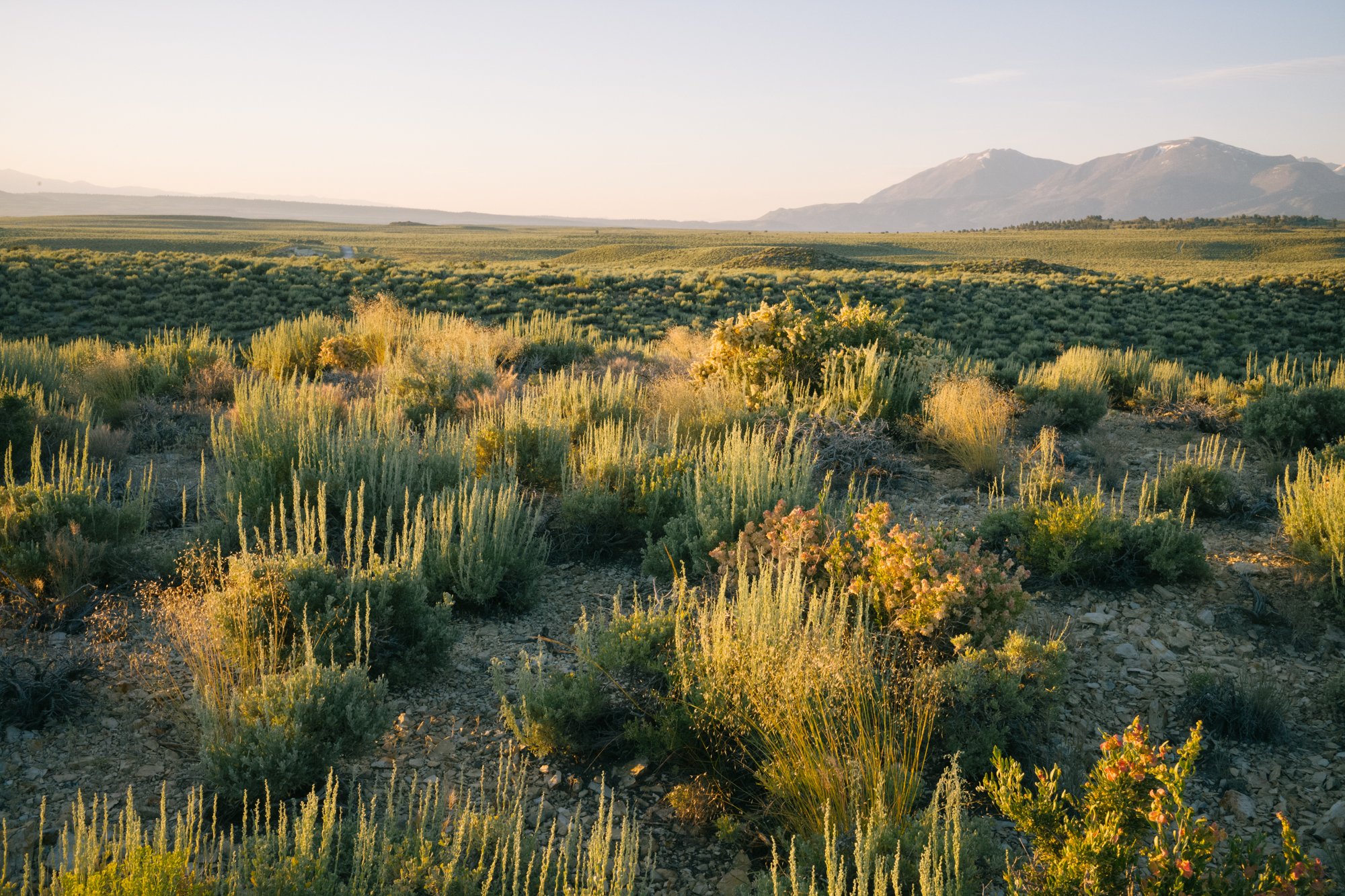
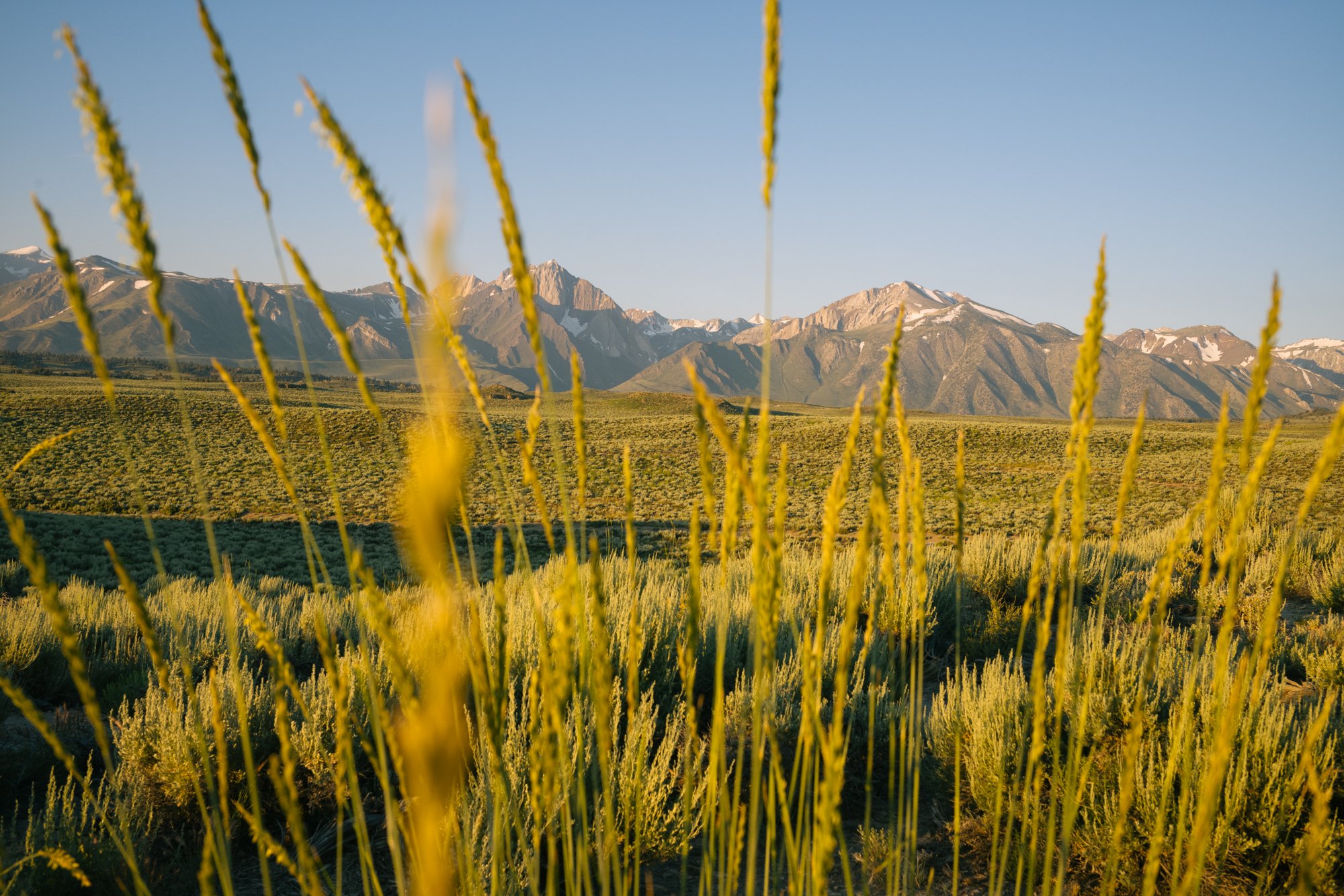
Great Basin Wild-rye blows in the morning wind blow the Eastern Sierra Nevada Mountains on July 17, 2023.
There are also several other major implications this will have on the region, including the destruction of the Paiute-Shoshone Indigenous people’s land, and the end of water for ranchers who use the valley’s water.
In 2021, a court ruled that LADWP could not move forward with their dramatic plan until they first conducted an environmental review under the California Environmental Quality Act. However, according the Environmental Conservation Organization, Keep Long Valley Green, “LADWP has issued non-binding statements that will continue to provide water in the area, it also steadfastly stated that it will refuse to even consider entering into a legally binding agreement to this effect.”
Thus, the Court of Appeals ruled that the LADWP would not have to perform an environmental review if they were not de-watering the area, as they claimed in court.
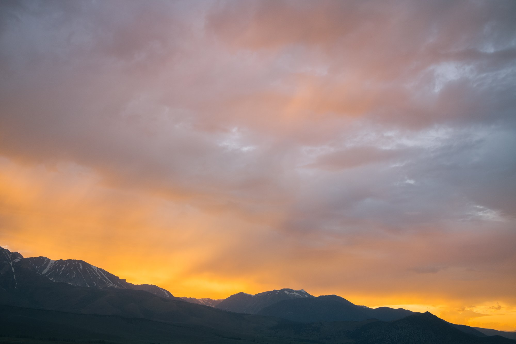
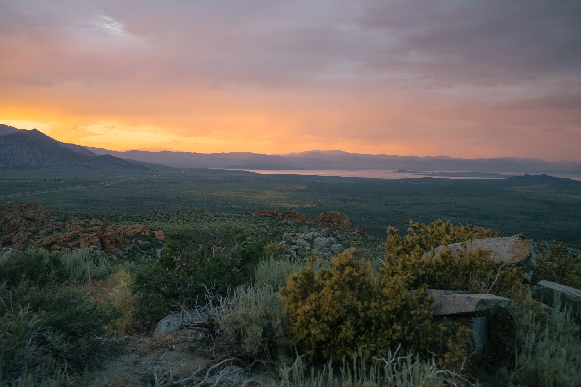
The orange glow from the setting sun illuminates the sky above the Eastern Sierra Nevada Mountains on July 18, 2023.
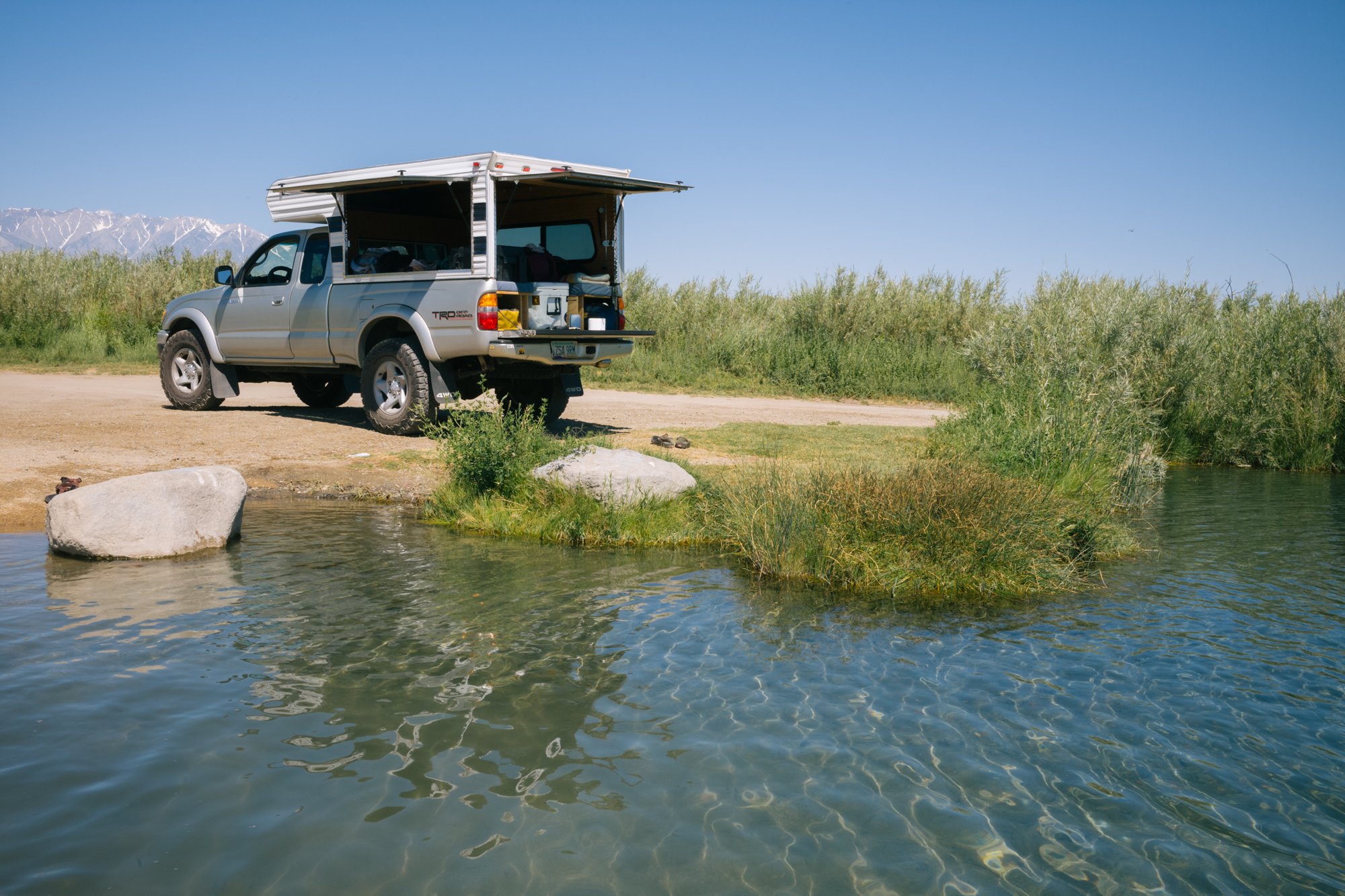
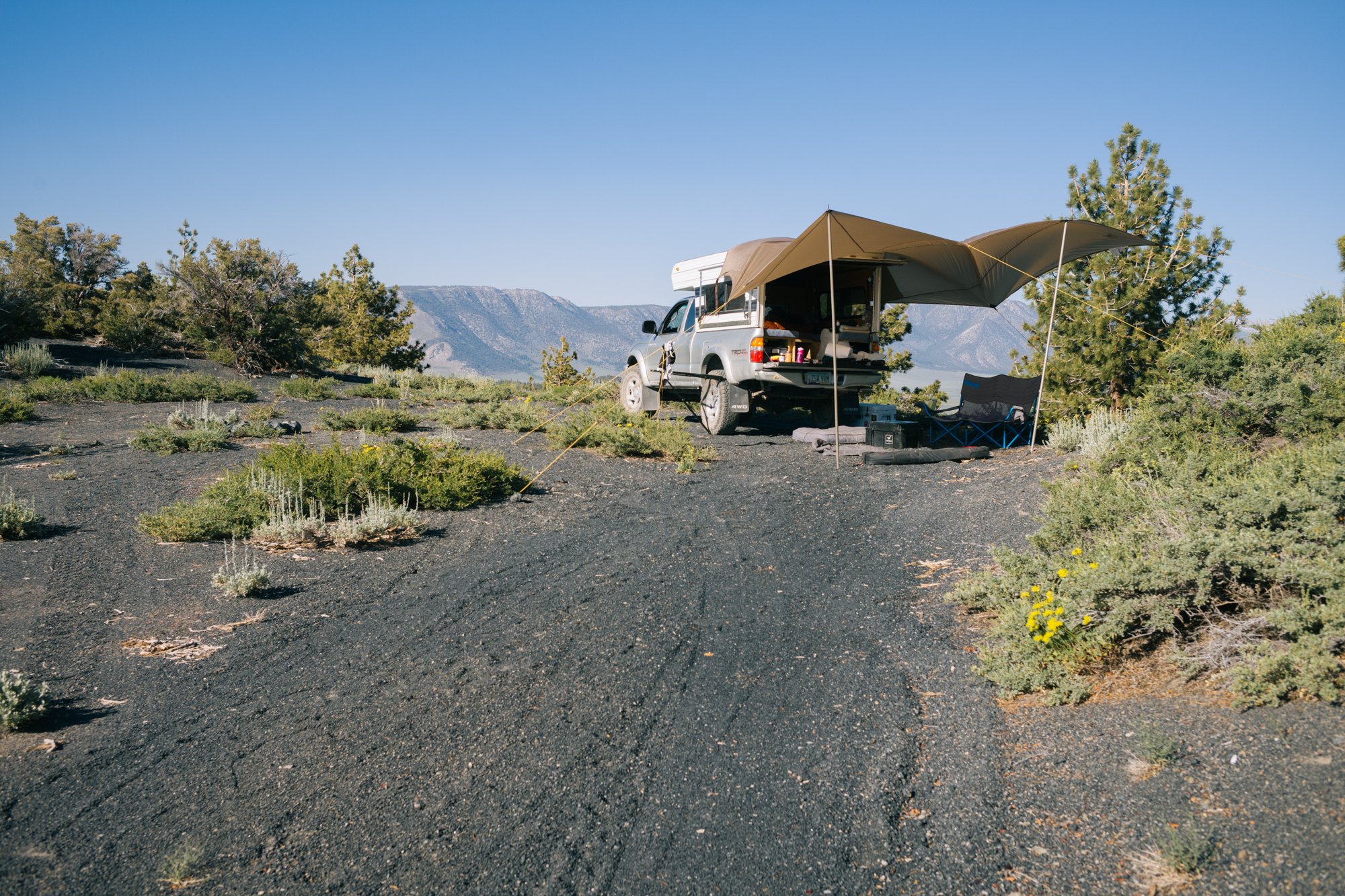
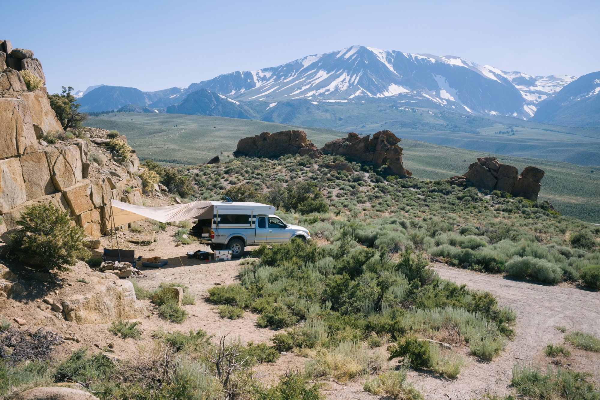
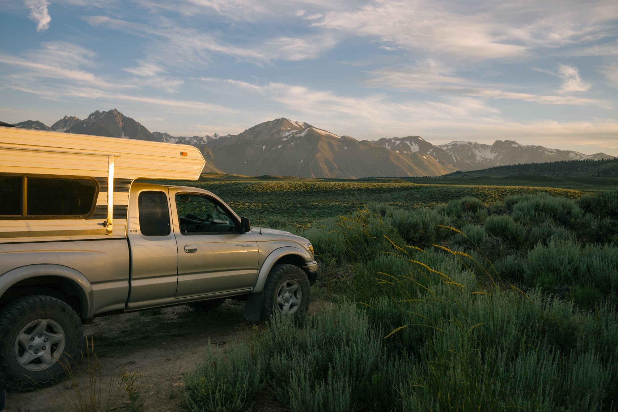
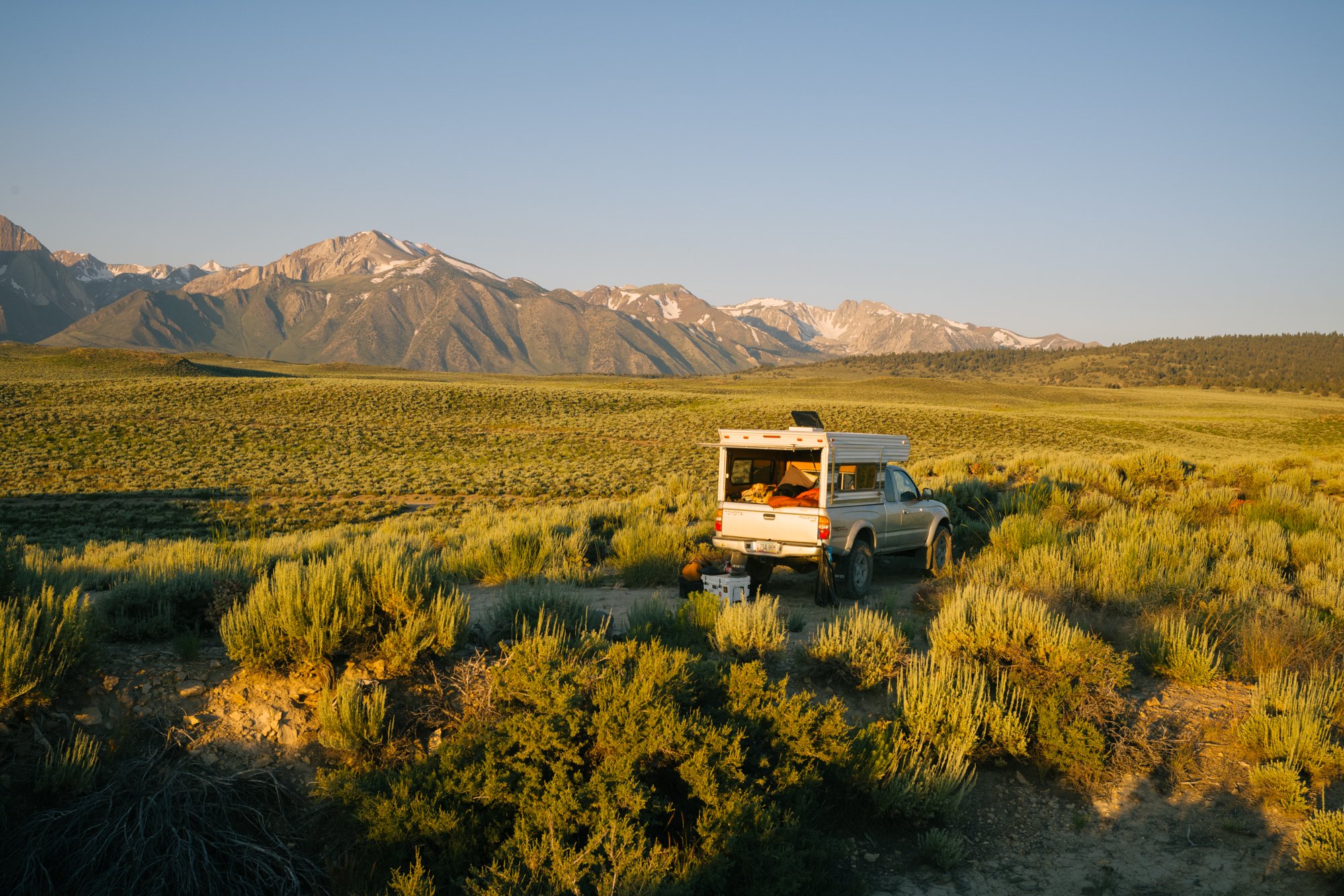
Our camp is setup in Long Valley on Public Lands on July 17, 2023.
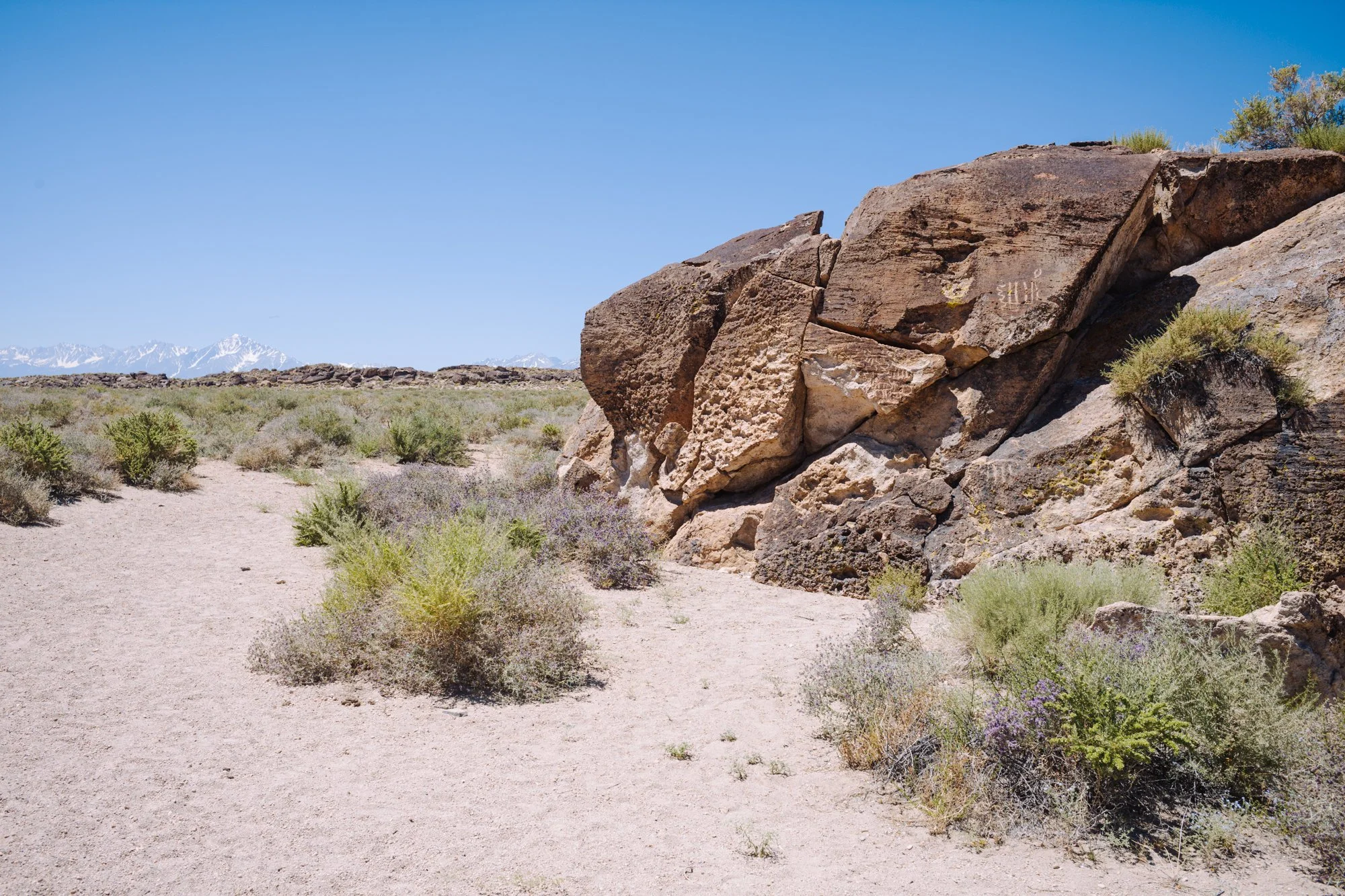
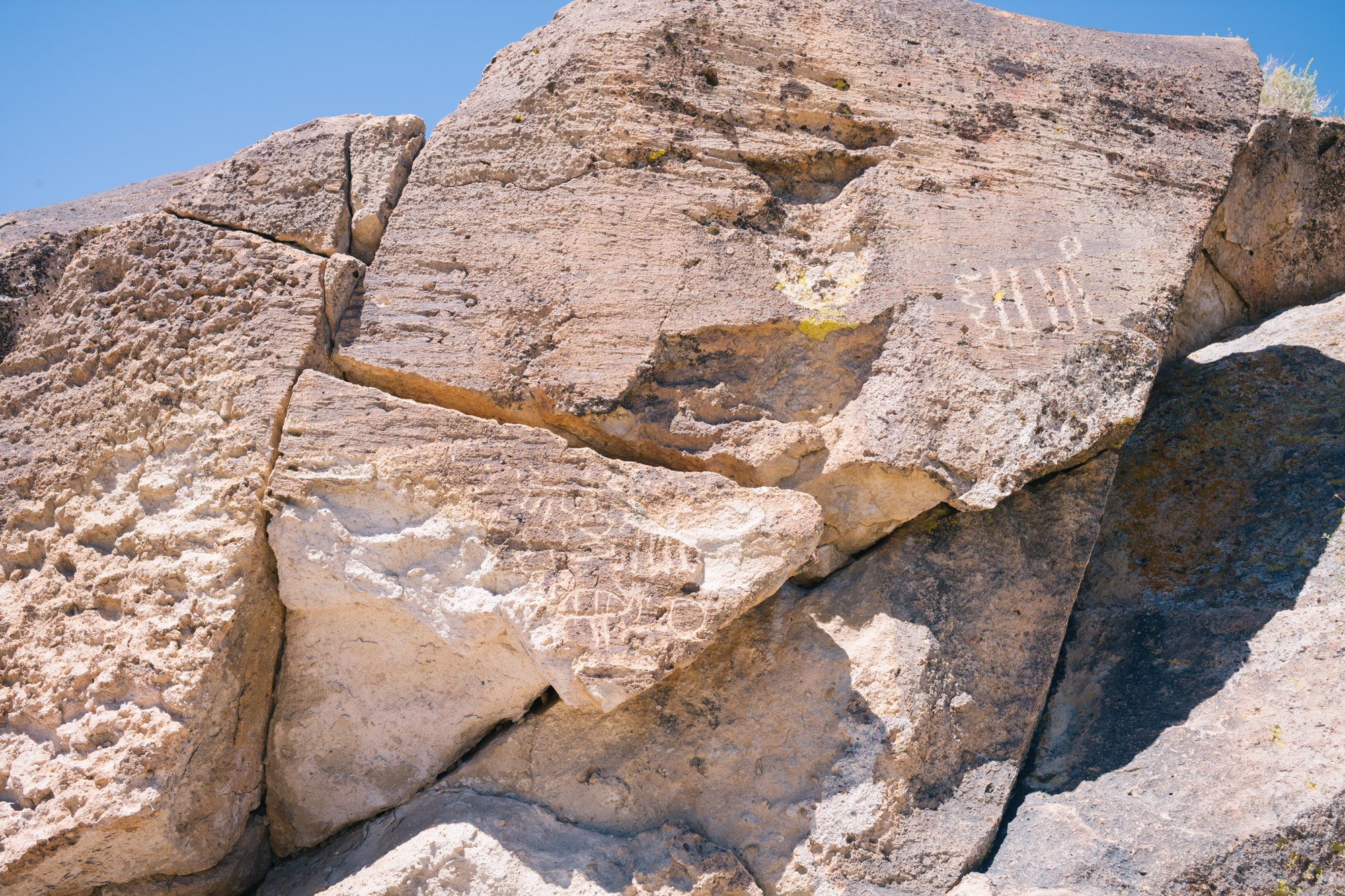
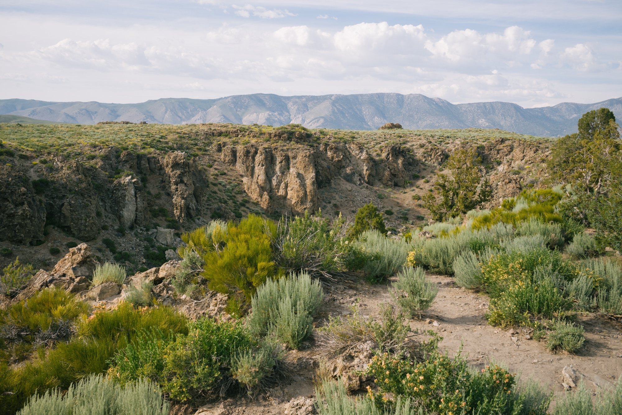
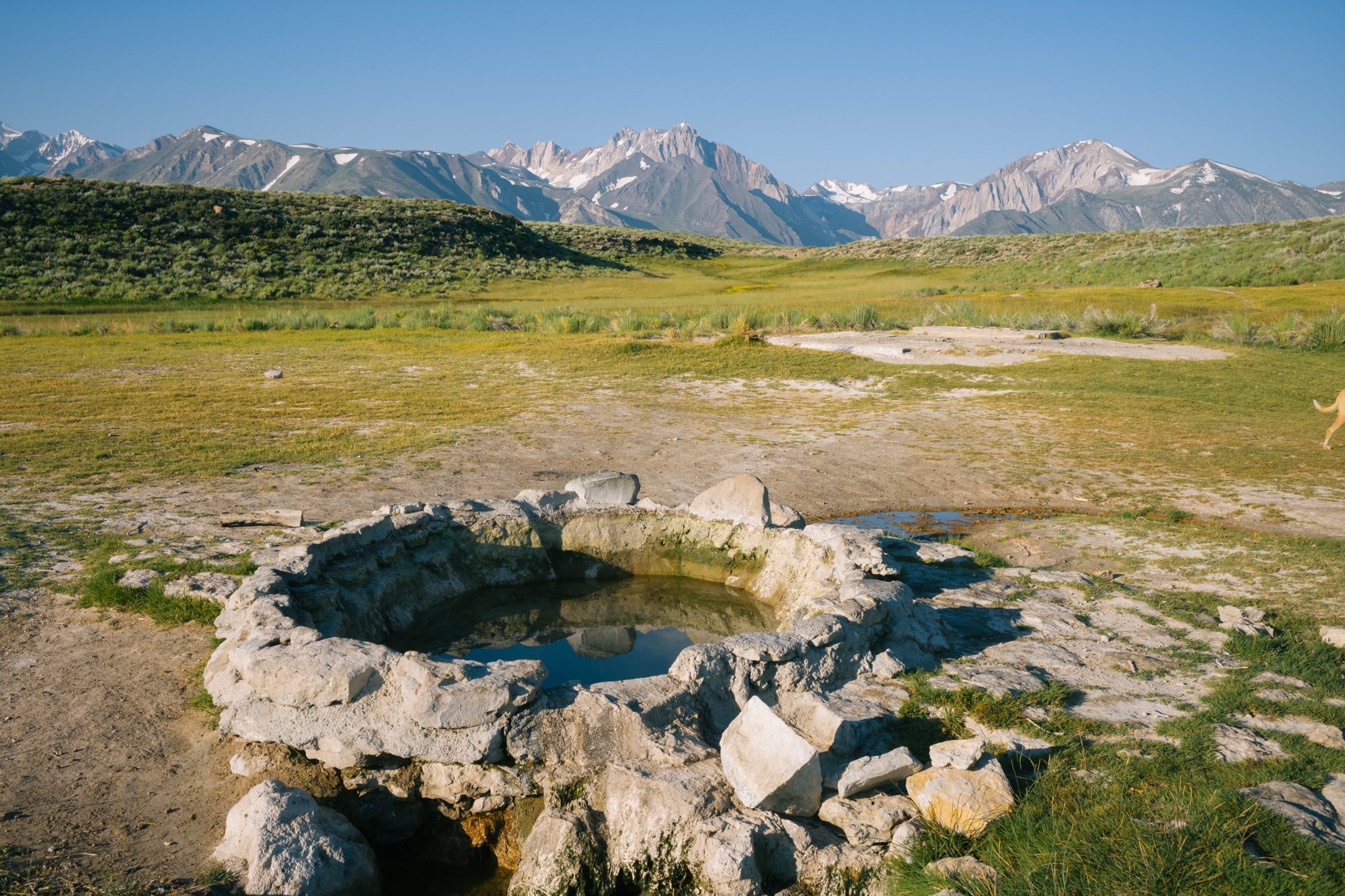
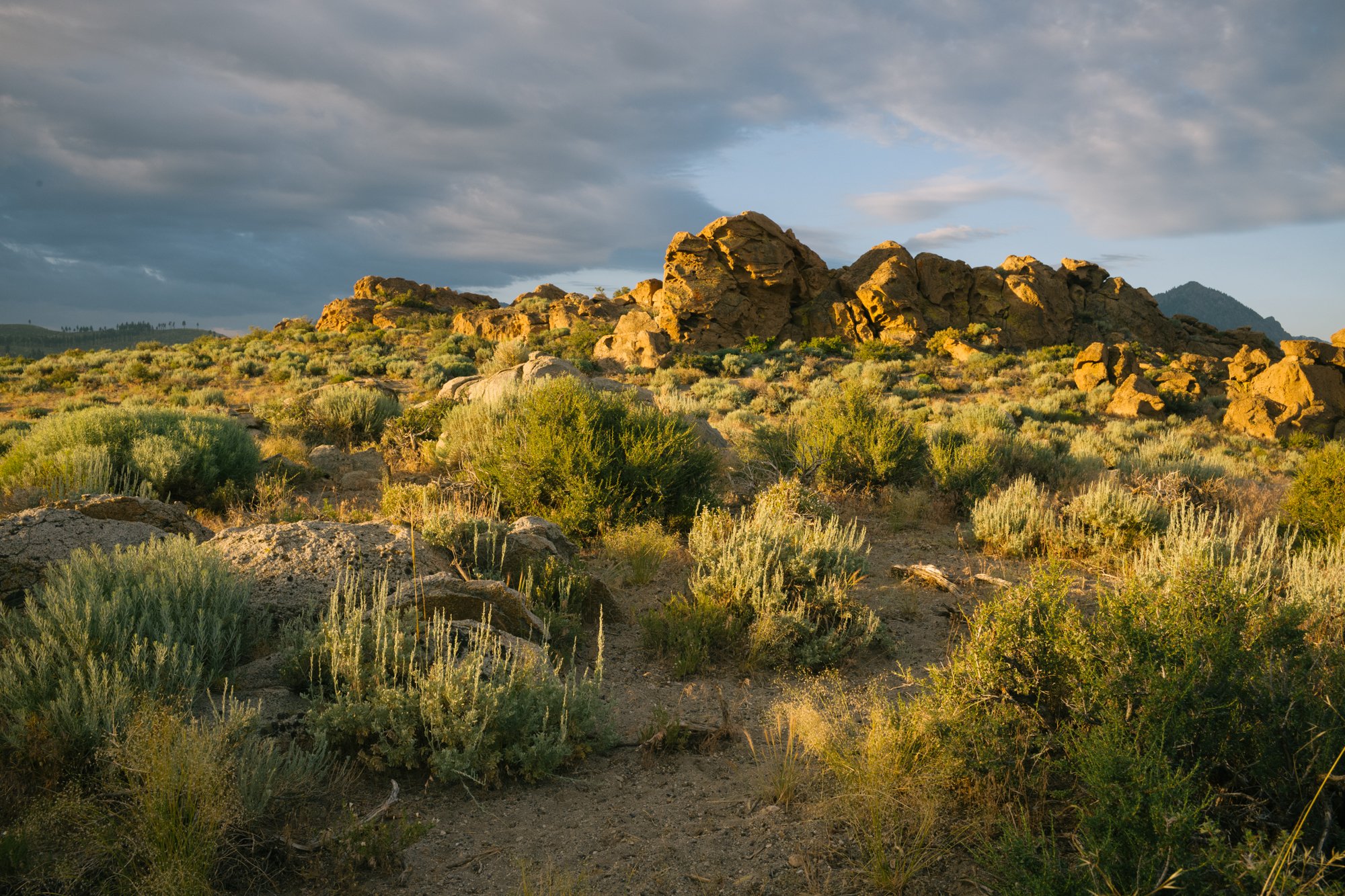
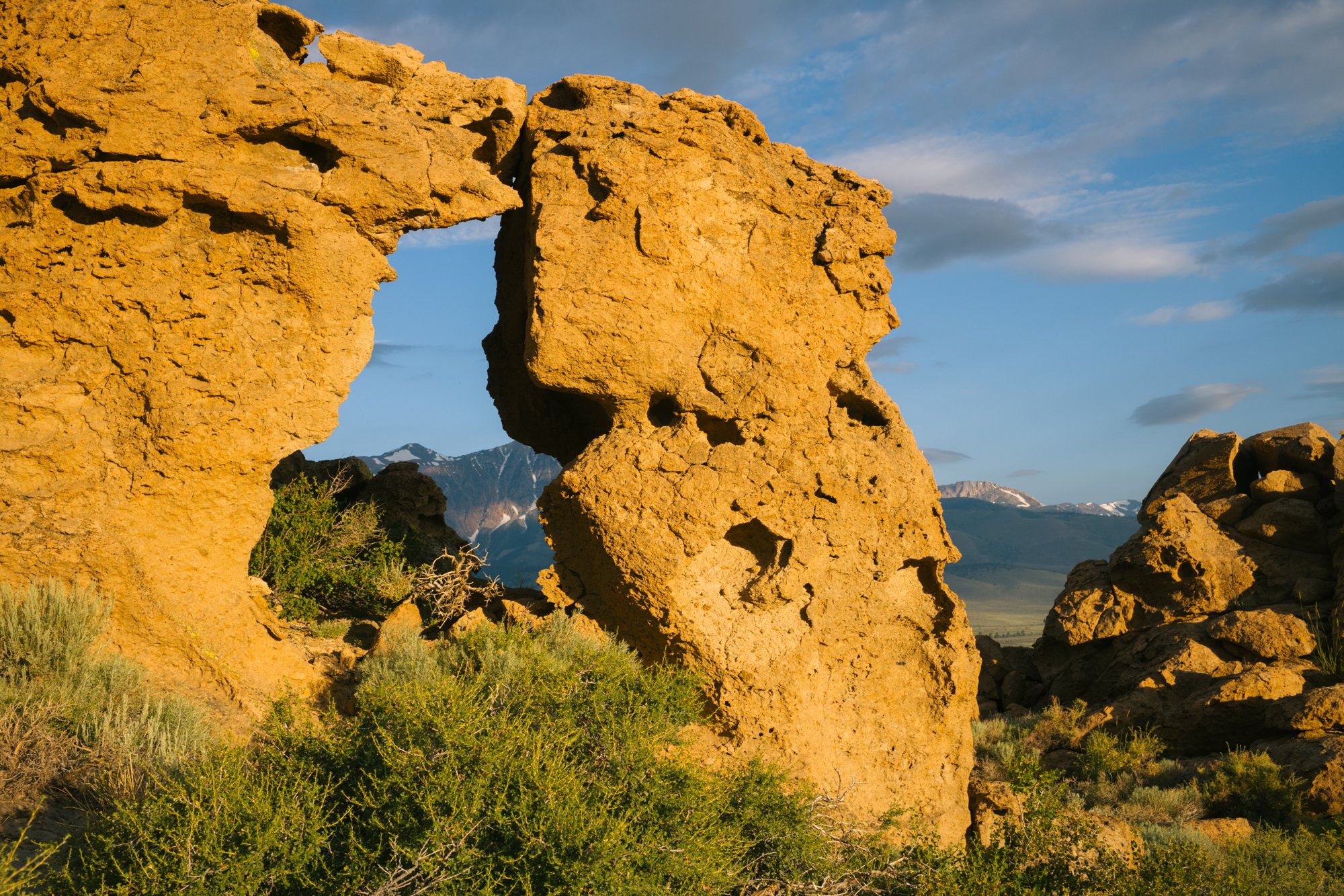
Long Valley is also home to many interesting geological sites that are worth checking out if you are in the area, and that is exactly what we did while we were traveling through the region.
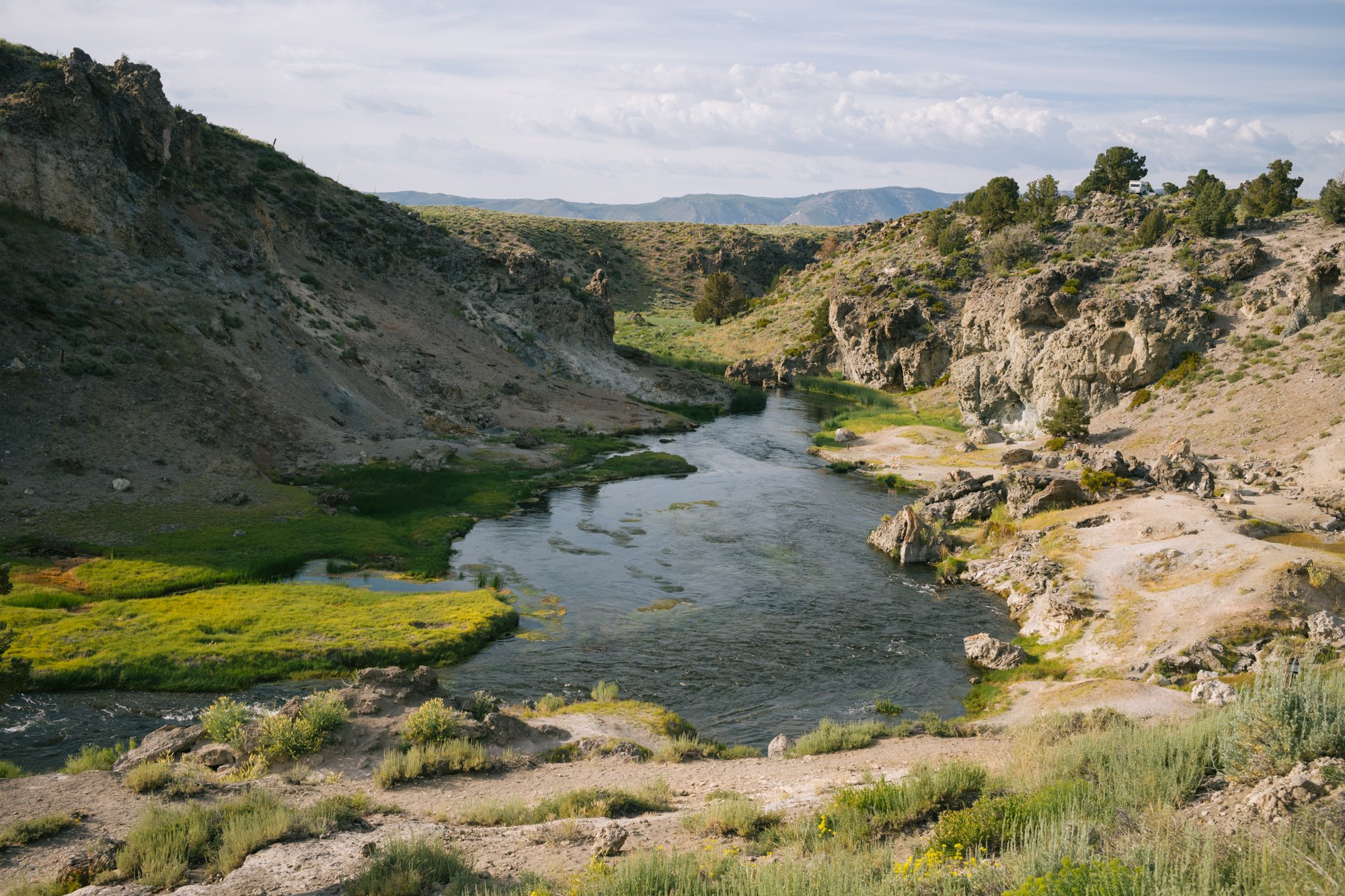
The Long Valley caldera “formed as a result of the voluminous Bishop Tuff [super]eruption about 760,000 years ago. Today, multiple hot springs can be found in the area and the smell of sulfur fills the air around some spots along Hot Creek.
Geothermal activity can be seen along the boarder of Hot Creek on July 17, 2023.
In cooler months, the hot springs found in this valley make for a nice way to relax in the frigid air that often comes through in the evenings and early mornings. However, during our visit in July, we only stopped for a minute before carrying on upwards into the bigger mountains to escape the heat of the day as the sun began to rise higher that morning.
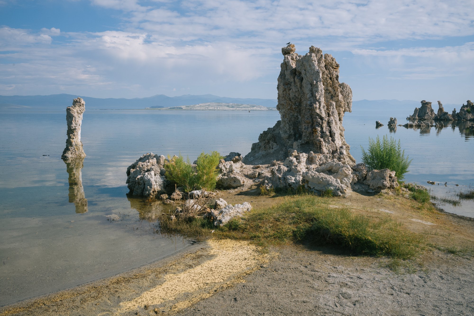
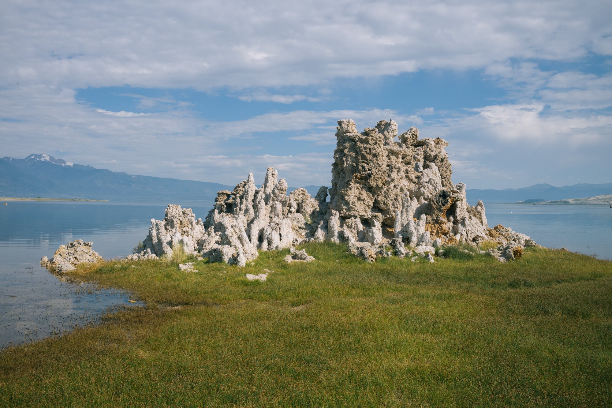
A “tufa” sits along the shoreline at the south end of Mono Lake on July 18, 2023.
Tioga Pass
One of our last stops on this trip was high up on Tioga Pass. California State Route 120 travels from the San Joaquin Valley up and into the Sierra Nevada Mountains and through Yosemite National Park before it descends Tioga Pass into the Mono Lake area.
This roadway was only opened for the summer season on July 13 because of the devastating winter this area experienced. While the road was only open to the park entrance gate during our trip, we were able to drive up and hike to Shell Lake from the park’s boundary.

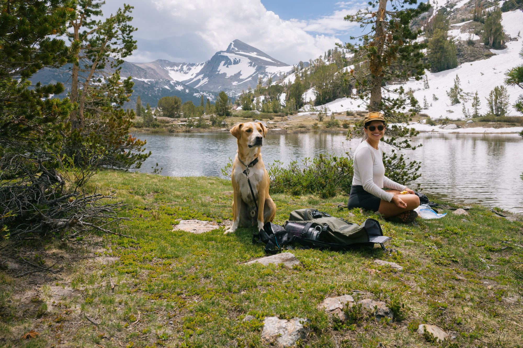
Mount Dana rises above from Shell Lake on July 18, 2023.
As of July 22, the entire road from the east side into Yosemite National Park is now opened. However, the winter’s destruction has done a number on the road and there are several washouts that the Parks Service has warned will add time to your trip down into the valley as there will be multiple sections of one-lane roads.
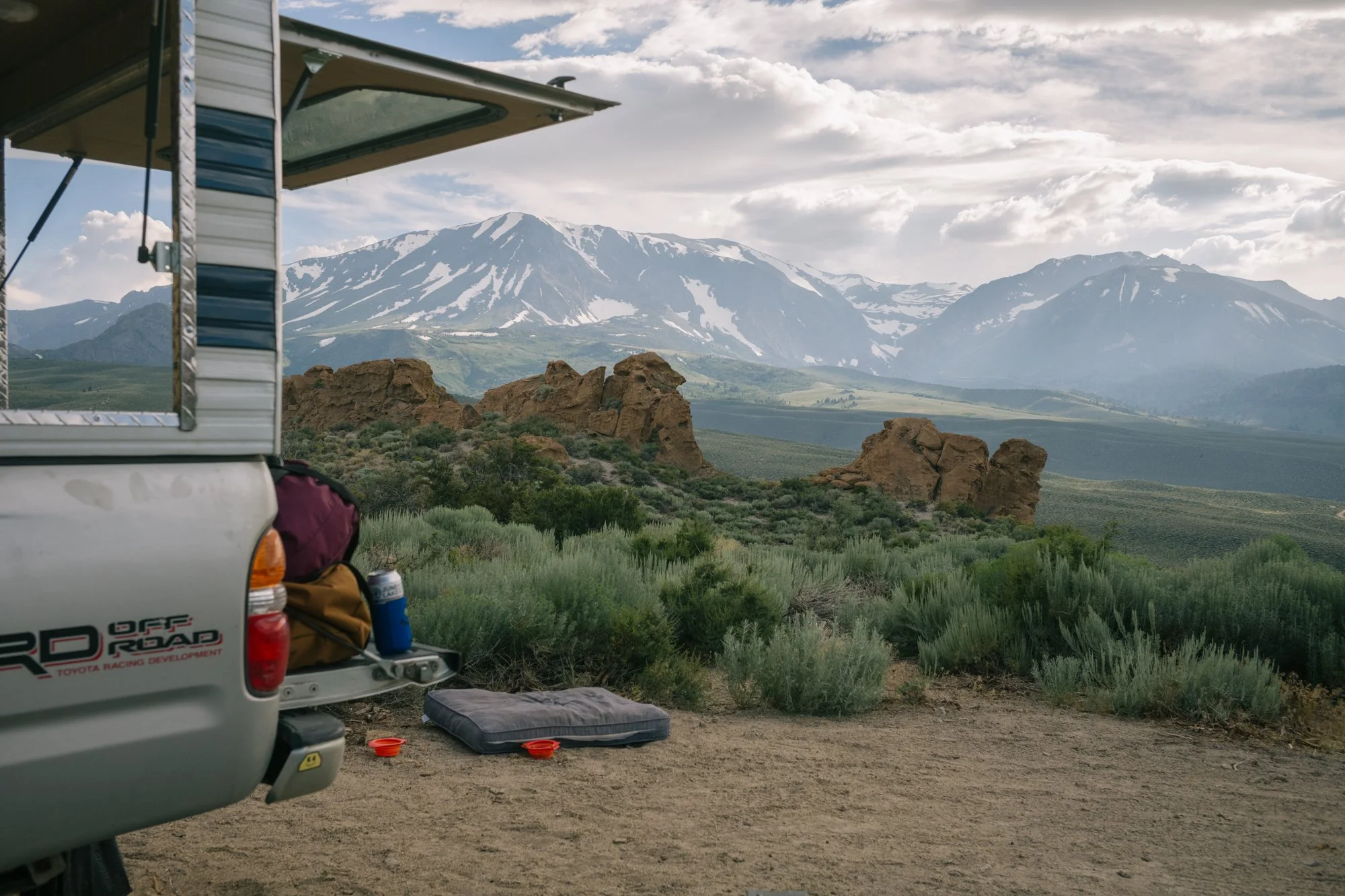
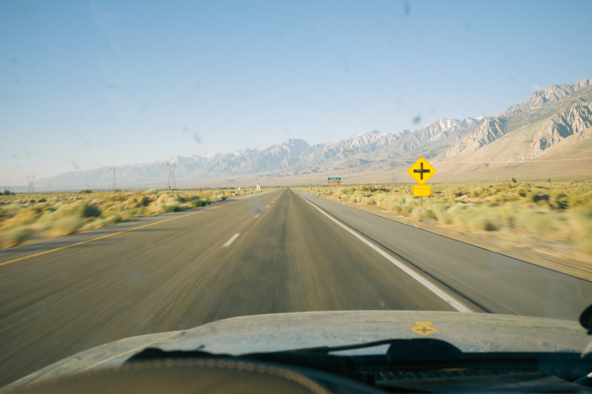
U.S. Highway 395 stretches out from the windshield of the truck traveling south on July 21, 2023.
This stretch of California has provided me with an escape from Los Angeles since I was very young, and these nine days spent bouncing around the area left me reminiscing on what this region looked like prior to the thievery of their water to aid in the unbelievable growth of Los Angeles County. This year’s large amounts of water helped the state of California greatly in their never-ending attempt at evading drought, but we still have a long way to go in terms of water conservation on both a personal, and industrial, level before we are able to truly say we are safe from running out of water in the American Southwest.
Thank you for reading, and if you have any questions or comments, please leave them below or shoot me an email: anderson.trevor81@gmail.com